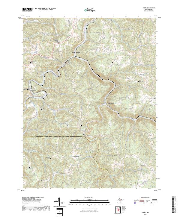
2023 Map of Brownton
USGS Topo · Published 2023About this map
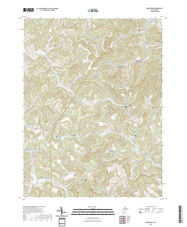
Bear Mountain stands at the center of this Barbour County landscape, where the headwaters of Simpson Creek and Elk Creek carve through the dissected plateau. The settlement pattern reflects West Virginia's coal and agricultural heritage, anchored by the towns of Brownton and Galloway. Family history is deeply rooted here, evidenced by numerous burial grounds including Green Hill Cem, Nutter Cem, and Bean Cem. The map detail shows a complex network of county routes, such as Co Rte 1/6 and Galloway Rd, connecting small communities like Peeltree and Pepper. A unique landmark, Nutters Place Spring, sits near the bend of Stillhouse Run, while the meeting of Harrison CO and Taylor CO at the Barbour Co line marks the northern boundary of this high-elevation region.
Find a feature on this map
74 named features on this map. Tap any name to fly to it.
Don’t see what you’re looking for? This feature index may not catch every label — zoom into the map to look around manually.
Map Details
Editions of this 2023 Brownton Map
This is the sole edition of this map. No revisions or reprints were ever made.
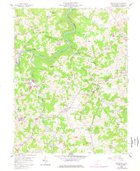
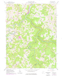
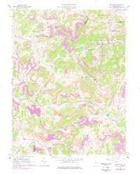
Historical Maps of Overfield Through Time
6 maps found