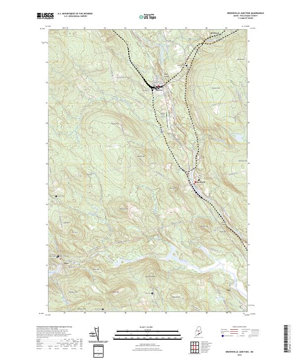
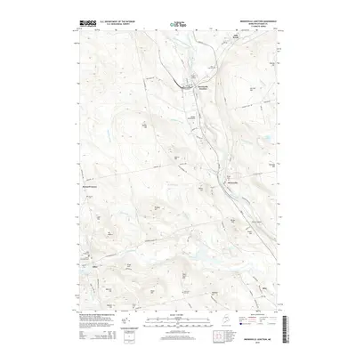
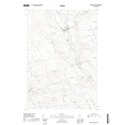
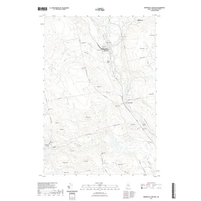
2024 Map of Brownville Junction
USGS Topo · Published 2024About this map
Brownville Junction serves as the focal point of this survey, where the Canadian Pacific RR and local industry intersect along the banks of the Pleasant River. The confluence of the West Branch Pleasant River and East Branch Pleasant River near Sugar Island highlights the importance of these waterways to the regional landscape. Moving south, the settlement of Brownville sits perched above the river, while the town of Sebec borders the eastern shores of Sebec Lake.
Find a feature on this map
90 named features on this map. Tap any name to fly to it.
Don’t see what you’re looking for? This feature index may not catch every label — zoom into the map to look around manually.
Map Details
Editions of this 2024 Brownville Junction Map
This is the sole edition of this map. No revisions or reprints were ever made.
Historical Maps of Milo Through Time
7 maps found
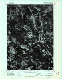
1978 Brownville Junction
Piscataquis County, ME
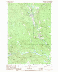
1988 Brownville Junction
Piscataquis County, ME
2011 Brownville Junction
Piscataquis County, ME
2014 Brownville Junction
Piscataquis County, ME
2018 Brownville Junction
Piscataquis County, ME
2021 Brownville Junction
Piscataquis County, ME
2024 Brownville Junction
Piscataquis County, ME