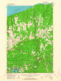
1961 Map of Brule
USGS Topo · Published 1963About this map
The Bois Brule State Forest dominates this northern landscape, with the famous Brule River winding its way north toward the shoreline of Lake Superior. In the early 1960s, the region was defined by a mix of forestry, transport, and small-town infrastructure. The Northern Pacific Railroad cuts east-to-west through the center of the sheet, connecting settlements like Brule, Blueberry, and Poplar. This rail corridor is dotted with local landmarks, including the Blueberry Cem and several Gravel Pits that supported local industry.
Find a feature on this map
72 named features on this map. Tap any name to fly to it.
Don’t see what you’re looking for? This feature index may not catch every label — zoom into the map to look around manually.
Map Details
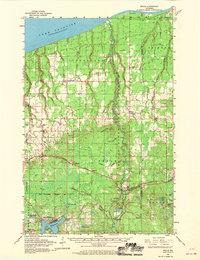
Editions of this 1961 Brule Map
2 editions found
Other maps of this area

1943 · Port Wing
USGS Topo · 1:48,000

1943 · Iron Lake
USGS Topo · 1:48,000

1944 · Drummond
USGS Topo · 1:48,000

1945 · Highland
USGS Topo · 1:48,000

1945 · Solon Springs
USGS Topo · 1:48,000

1946 · Port Wing
USGS Topo · 1:48,000

1947 · Drummond
USGS Topo · 1:48,000

1947 · Brule
USGS Topo · 1:48,000

1947 · Iron Lake
USGS Topo · 1:48,000

1949 · Solon Springs
USGS Topo · 1:48,000