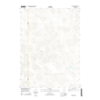
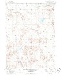
2014 Map of Bruner Lake
USGS Topo · Published 2014About this map
The boundary between Rock Co and Holt Co cuts through this sparsely settled pocket of the Nebraska Sandhills. The landscape is defined by intricate contour patterns representing the stabilization of ancient sand dunes, a terrain that has long dictated the layout of local infrastructure. Scattered water bodies like Long Lake and Bruner Lake serve as vital landmarks in this high-plains environment, where drainage is often internal to the sandy depressions. Access is limited to a few straight-line rural routes, including 850th Rd and 849th Rd, which follow the section lines characteristic of the Great Plains' grid system. This survey illustrates the enduring agricultural and ranching character of the region, where the vast majority of the land remains undeveloped beyond these essential county roads.
Find a feature on this map
5 named features on this map. Tap any name to fly to it.
Don’t see what you’re looking for? This feature index may not catch every label — zoom into the map to look around manually.
Map Details
Editions of this 2014 Bruner Lake Map
This is the sole edition of this map. No revisions or reprints were ever made.
Other maps of this area

1955 · O'Neill
USGS Topo · 1:250,000

1959 · O'Neill
USGS Topo · 1:250,000
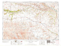
1969 · O'Neill
USGS Topo · 1:250,000
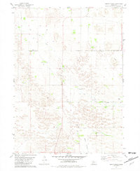
1981 · Abbott Ranch
USGS Topo · 1:24,000
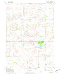
1981 · Swan Lake
USGS Topo · 1:24,000
1981 · Bruner Lake
USGS Topo · 1:24,000
1981 · Stonehouse Ranch NE
USGS Topo · 1:24,000
1981 · Carson Lake
USGS Topo · 1:24,000
1981 · Stonehouse Ranch
USGS Topo · 1:24,000
1982 · Cottonwood Lake
USGS Topo · 1:24,000