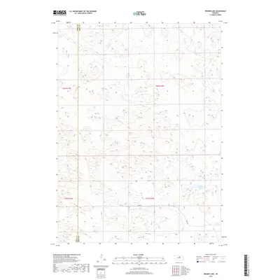
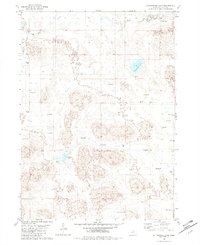
2017 Map of Bruner Lake
USGS Topo · Published 2017About this map
Sandhill prairie and scattered wetlands define this section of the Nebraska landscape along the Rock County and Holt County line. The terrain is marked by the presence of family-operated ranching headquarters, including Stonehouse Ranch and Abbott Ranch, which represent the enduring pastoral economy of this region. These settlements are linked by a sparse network of section-line roads such as 850th Road and 849th Road, illustrating the low-density development typical of north-central Nebraska.
Find a feature on this map
14 named features on this map. Tap any name to fly to it.
Don’t see what you’re looking for? This feature index may not catch every label — zoom into the map to look around manually.
Map Details
Editions of this 2017 Bruner Lake Map
This is the sole edition of this map. No revisions or reprints were ever made.
Other maps of this area

1955 · O'Neill
USGS Topo · 1:250,000

1959 · O'Neill
USGS Topo · 1:250,000
1969 · O'Neill
USGS Topo · 1:250,000
1981 · Abbott Ranch
USGS Topo · 1:24,000
1981 · Swan Lake
USGS Topo · 1:24,000
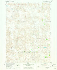
1981 · Bruner Lake
USGS Topo · 1:24,000
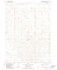
1981 · Stonehouse Ranch NE
USGS Topo · 1:24,000
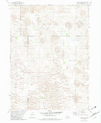
1981 · Carson Lake
USGS Topo · 1:24,000
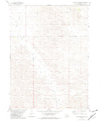
1981 · Stonehouse Ranch
USGS Topo · 1:24,000
1982 · Cottonwood Lake
USGS Topo · 1:24,000