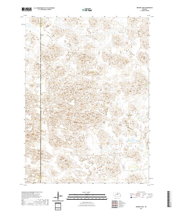
2021 Map of Bruner Lake
USGS Topo · Published 2021About this map
Bruner Lake and Long Lake define this pocket of the Nebraska Sandhills, where the topography is characterized by intricate dune formations and isolated wetlands. The boundary between Rock County and Holt County runs vertically through the western portion of the map, marking a division in this sparsely populated ranching landscape. Human presence is minimal, etched into the terrain by a few gravel corridors like 850th Rd and 849th Rd. The Public Land Survey System grid, indicated by township markers such as t26n r16w, organizes the territory into a vast network of sections used for land management and grazing. This survey provides a clear view of the natural drainage and depression patterns that dictate the location of seasonal water bodies in this unique geologic region.
Find a feature on this map
9 named features on this map. Tap any name to fly to it.
Don’t see what you’re looking for? This feature index may not catch every label — zoom into the map to look around manually.
Map Details
Editions of this 2021 Bruner Lake Map
This is the sole edition of this map. No revisions or reprints were ever made.
Other maps of this area

1955 · O'Neill
USGS Topo · 1:250,000

1959 · O'Neill
USGS Topo · 1:250,000

1969 · O'Neill
USGS Topo · 1:250,000
1981 · Abbott Ranch
USGS Topo · 1:24,000

1981 · Swan Lake
USGS Topo · 1:24,000

1981 · Bruner Lake
USGS Topo · 1:24,000

1981 · Stonehouse Ranch NE
USGS Topo · 1:24,000
1981 · Carson Lake
USGS Topo · 1:24,000
1981 · Stonehouse Ranch
USGS Topo · 1:24,000
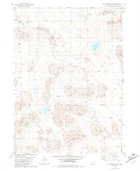
1982 · Cottonwood Lake
USGS Topo · 1:24,000