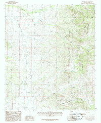
1986 Map of Bruno Peak
USGS Topo · Published 1986About this map
The Chiricahua Mountains dominate the eastern landscape of this Cochise County survey, where the high elevations of Bruno Peak and Bruno Saddle overlook the surrounding desert drainage systems. This mid-1980s topography illustrates a complex network of seasonal watercourses, including Whitewater Draw, Hunt Draw, and Mesa Draw, which channel runoff from the mountain slopes toward the western flats. Much of the high ground is protected within the Coronado National Forest, characterized by deep incisions like North Bruno Canyon and South Bruno Canyon. The map provides a look at the arid hydrology of the region, featuring landforms like Lonesome High and the narrow passage of Box Canyon. This documentation of the rugged transition between the Chiricahua range and the open draws captures the remote character of southeastern Arizona before modern developments altered the local backcountry access.
Find a feature on this map
14 named features on this map. Tap any name to fly to it.
Don’t see what you’re looking for? This feature index may not catch every label — zoom into the map to look around manually.
Map Details
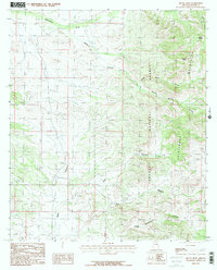
Editions of this 1986 Bruno Peak Map
2 editions found
Other maps of this area

1916 · Pearce
USGS Topo · 1:125,000

1917 · Chiricahua
USGS Topo · 1:125,000

1919 · Chiricahua
USGS Topo · 1:125,000

1922 · Swisshelm
USGS Topo · 1:62,500

1926 · Light
USGS Topo · 1:62,500

1926 · Rucker
USGS Topo · 1:62,500

1926 · Pedregosa
USGS Topo · 1:62,500

1955 · Douglas
USGS Topo · 1:250,000

1958 · Chiricahua Peak
USGS Topo · 1:62,500

1958 · Squaretop Hills
USGS Topo · 1:62,500