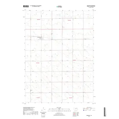
2017 Map of Brunswick
USGS Topo · Published 2017About this map
Brunswick serves as the central hub of this Antelope County landscape, situated where Franklin St meets 863rd Rd. This village layout remains defined by its grid, featuring streets such as 2nd St, 3rd St, and 4th St. The surrounding terrain is primarily agricultural, punctuated by a dense network of sectional roads and the winding path of Bazile Cr in the north. Two key burial sites provide historical anchors for the community: Brunswick Cem just north of the village and West Willowdale Cem located in the southwestern corner of the quadrangle. The map reflects the enduring rectilinear land division of the Great Plains, with township lines like t27n r6w and t28n r5w organizing the rural expanse between the few established settlements and family farms.
Find a feature on this map
27 named features on this map. Tap any name to fly to it.
Don’t see what you’re looking for? This feature index may not catch every label — zoom into the map to look around manually.
Map Details
Editions of this 2017 Brunswick Map
This is the sole edition of this map. No revisions or reprints were ever made.
Other maps of this area
1955 · Sioux City
USGS Topo · 1:250,000
1955 · O'Neill
USGS Topo · 1:250,000
1958 · Sioux City
USGS Topo · 1:250,000
1959 · O'Neill
USGS Topo · 1:250,000
1959 · Sioux City
USGS Topo · 1:250,000
1963 · Orchard NE
USGS Topo · 1:24,000
1963 · Neligh
USGS Topo · 1:24,000
1963 · Plainview
USGS Topo · 1:24,000
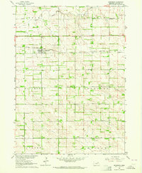
1963 · Brunswick
USGS Topo · 1:24,000
1963 · Tilden NE
USGS Topo · 1:24,000