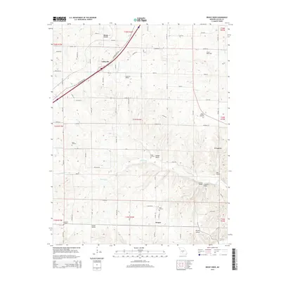
2015 Map of Brush Creek
USGS Topo · Published 2015About this map
Historic Route 66 cuts diagonally through the northwest corner of this Missouri landscape, passing directly through the community of Caffeyville. This corridor remains a focal point of the local geography, connecting smaller settlements like Morgan and Evergreen to the broader regional network. The terrain is defined by a series of significant valleys and depressions, most notably the Goodwin Hollow and the Silver Mine Sink, which illustrate the distinct karst-like topography of the area.
Find a feature on this map
79 named features on this map. Tap any name to fly to it.
Don’t see what you’re looking for? This feature index may not catch every label — zoom into the map to look around manually.
Map Details
Editions of this 2015 Brush Creek Map
This is the sole edition of this map. No revisions or reprints were ever made.
Other maps of this area

1939 · Long Lane
USGS Topo · 1:62,500

1941 · Lebanon
USGS Topo · 1:62,500

1942 · Long Lane
USGS Topo · 1:62,500

1943 · Lebanon
USGS Topo · 1:62,500

1946 · Niangua
USGS Topo · 1:62,500

1948 · Niangua
USGS Topo · 1:62,500

1954 · Springfield
USGS Topo · 1:250,000

1956 · Rader
USGS Topo · 1:24,000
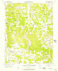
1956 · Grovespring
USGS Topo · 1:24,000

1958 · Springfield
USGS Topo · 1:250,000