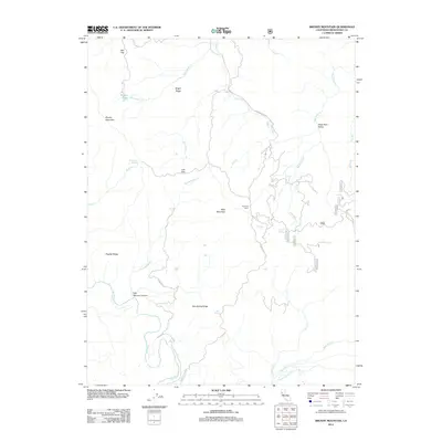
2012 Map of Brushy Mountain
USGS Topo · Published 2012About this map
Bald Mountain and English Ridge dominate this section of the Mendocino County backcountry, where the terrain is defined by steep ridges and the winding course of the Eel River. The landscape is etched with a network of seasonal watercourses like Blacksmith Cr and Garcia Cr, reflecting a topography that has long challenged travel. Access through this region is facilitated primarily by the Hearst Willits Rd, which skirts the edge of Old Woman Canyon and passes near Summer Camp.
Find a feature on this map
35 named features on this map. Tap any name to fly to it.
Don’t see what you’re looking for? This feature index may not catch every label — zoom into the map to look around manually.
Map Details
Editions of this 2012 Brushy Mountain Map
This is the sole edition of this map. No revisions or reprints were ever made.
Other maps of this area
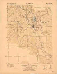
1922 · Willits
USGS Topo · 1:62,500
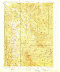
1929 · Eden Valley
USGS Topo · 1:62,500
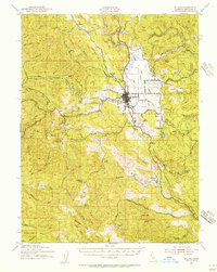
1942 · Willits
USGS Topo · 1:62,500
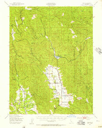
1943 · Pomo
USGS Topo · 1:62,500
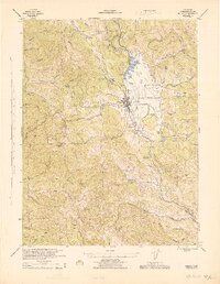
1944 · Willits
USGS Topo · 1:62,500
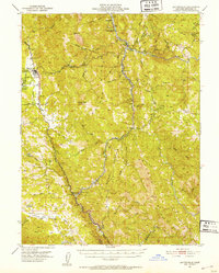
1951 · Laytonville
USGS Topo · 1:62,500
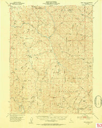
1952 · Eden Valley
USGS Topo · 1:62,500
1957 · Ukiah
USGS Topo · 1:250,000
1960 · Ukiah
USGS Topo · 1:250,000
1960 · Potter Valley
USGS Topo · 1:62,500