
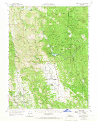
1960 Map of Potter Valley
USGS Topo · Published 1962About this map
Potter Valley and its surrounding agricultural corridor are meticulously detailed in this early 1960s survey, showing a landscape defined by the drainage divide between the Eel River and the East Fork Russian River. The map highlights the essential water infrastructure of the era, including the Van Arsdale Res and the Powerhouse Gaging Sta, which supported the region's development. Rural life is anchored by local landmarks like the Potter Valley Cem, the community of Pomo, and the Potter Valley Rancheria.
Find a feature on this map
101 named features on this map. Tap any name to fly to it.
Don’t see what you’re looking for? This feature index may not catch every label — zoom into the map to look around manually.
Map Details
Editions of this 1960 Potter Valley Map
2 editions found
Other maps of this area

1920 · Ukiah
USGS Topo · 1:62,500

1922 · Willits
USGS Topo · 1:62,500

1922 · Hullville
USGS Topo · 1:62,500

1929 · Eden Valley
USGS Topo · 1:62,500

1938 · Lakeport
USGS Topo · 1:62,500

1942 · Willits
USGS Topo · 1:62,500

1943 · Pomo
USGS Topo · 1:62,500

1943 · Boonville
USGS Topo · 1:62,500

1944 · Ukiah
USGS Topo · 1:62,500

1944 · Willits
USGS Topo · 1:62,500