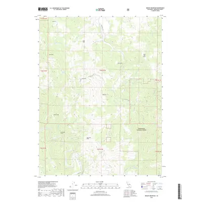
2018 Map of Brushy Mountain
USGS Topo · Published 2018About this map
Brushy Mtn and its surrounding ridgelines define the high-elevation landscape of Mendocino County, where the headwaters of numerous creeks converge. This area is largely contained within the Mendocino National Forest, characterized by steep elevation changes between English Ridge and the drainages of the Eel River. The terrain features several distinct pockets of relatively level land, such as Eden Valley, Deep Hole Valley, and the seasonal Salt Flat, which contrast sharply with the surrounding peaks like Bald Mtn.
Find a feature on this map
39 named features on this map. Tap any name to fly to it.
Don’t see what you’re looking for? This feature index may not catch every label — zoom into the map to look around manually.
Map Details
Editions of this 2018 Brushy Mountain Map
This is the sole edition of this map. No revisions or reprints were ever made.
Other maps of this area
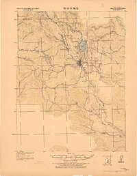
1922 · Willits
USGS Topo · 1:62,500
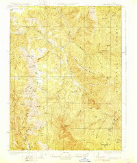
1929 · Eden Valley
USGS Topo · 1:62,500
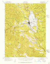
1942 · Willits
USGS Topo · 1:62,500
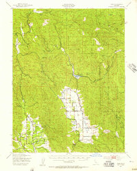
1943 · Pomo
USGS Topo · 1:62,500
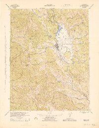
1944 · Willits
USGS Topo · 1:62,500
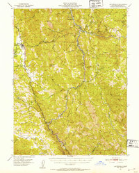
1951 · Laytonville
USGS Topo · 1:62,500
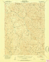
1952 · Eden Valley
USGS Topo · 1:62,500
1957 · Ukiah
USGS Topo · 1:250,000
1960 · Ukiah
USGS Topo · 1:250,000
1960 · Potter Valley
USGS Topo · 1:62,500