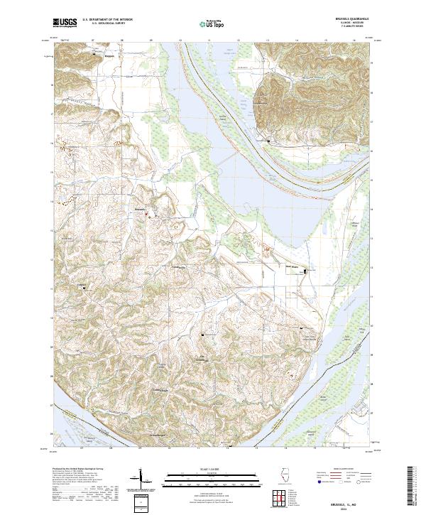
2024 Map of Brussels
USGS Topo · Published 2024About this map
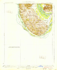
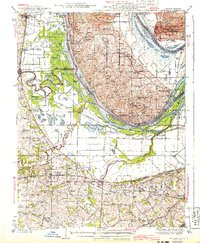
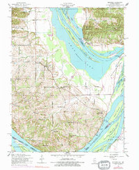
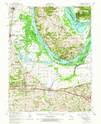
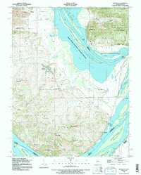
Brussels serves as the central hub of this Mississippi and Illinois River peninsula, where the landscape transitions from the river bottomlands of the Two Rivers National Wildlife Refuge to the elevated ridges of the interior. The survey documents several small, potentially ancestral settlements like Golden Eagle, Meppen, and Deer Plain, each situated along the complex drainage network of Metz Creek and Two Branch Hollow. The topographical detail reveals a land shaped by water, featuring numerous islands such as Dardenne Island and Bolter Island, alongside backwater sloughs like Sixmile Slough.
Find a feature on this map
89 named features on this map. Tap any name to fly to it.
Don’t see what you’re looking for? This feature index may not catch every label — zoom into the map to look around manually.
Map Details
Editions of this 2024 Brussels Map
This is the sole edition of this map. No revisions or reprints were ever made.
Historical Maps of Meppen Through Time
7 maps found