
1973 Map of Bryant
USGS Topo · Published 1978About this map
The town of Bryant serves as the focal point of this 1970s survey, situated at the junction of the C M STP & P and the Chicago Milwaukee St Paul and Pacific rail lines. This prairie landscape is defined by its agricultural grid and a series of waterfowl-focused conservation areas, including the Johnsons Slough State Public Shooting Area and the Mc Shane State Public Shooting Area. Genealogists will find significant value in the documentation of local burial grounds and religious sites, such as St Marys Cem, Our Redeemer Cem, and the more remote Clara Ch with its adjacent Clara Cem to the south. The terrain is marked by seasonal wetlands and water bodies like Johnsons Slough and Plum Lake, reflecting the region's importance for migratory birds and local hunters during this era.
Find a feature on this map
24 named features on this map. Tap any name to fly to it.
Don’t see what you’re looking for? This feature index may not catch every label — zoom into the map to look around manually.
Map Details
Editions of this 1973 Bryant Map
This is the sole edition of this map. No revisions or reprints were ever made.
Other maps of this area

1899 · De Smet
USGS Topo · 1:125,000

1953 · Watertown
USGS Topo · 1:250,000

1958 · Watertown
USGS Topo · 1:250,000

1968 · Lake Preston NE
USGS Topo · 1:24,000

1968 · Erwin
USGS Topo · 1:24,000

1971 · De Smet
USGS Topo · 1:24,000

1973 · Bryant NE
USGS Topo · 1:24,000
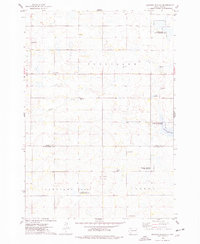
1973 · Gertson Slough
USGS Topo · 1:24,000

1973 · Vienna West
USGS Topo · 1:24,000
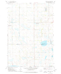
1973 · Cherry Lake
USGS Topo · 1:24,000