
1911 Map of Bryant Pond
USGS Topo · Published 1953About this map
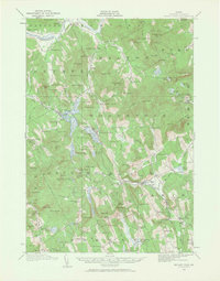
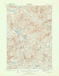
Bryant Pond serves as a central hub in this Oxford County landscape, where the Grand Trunk Road corridors follow the natural valleys carved by the Androscoggin River and its tributaries. The early 20th-century settlement pattern is defined by small clusters of industry and education, with Walkers Mill and Willis Mill positioned along vital waterways like the Alder River. The map reveals a high density of rural schoolhouses, such as the Milton School and Richardson School, illustrating the localized nature of community life before the era of district consolidation.
Find a feature on this map
160 named features on this map. Tap any name to fly to it.
Don’t see what you’re looking for? This feature index may not catch every label — zoom into the map to look around manually.
Map Details
Editions of this 1911 Bryant Pond Map
3 editions found
Other maps of this area

1896 · Norway
USGS Topo · 1:62,500

1908 · Poland
USGS Topo · 1:62,500

1909 · Fryeburg
USGS Topo · 1:62,500

1911 · Fryeburg
USGS Topo · 1:62,500

1911 · Buckfield
USGS Topo · 1:62,500

1913 · Buckfield
USGS Topo · 1:62,500

1914 · Bethel
USGS Topo · 1:62,500

1914 · Bryant Pond
USGS Topo · 1:62,500

1926 · Dixfield
USGS Topo · 1:62,500

1927 · Rumford
USGS Topo · 1:48,000