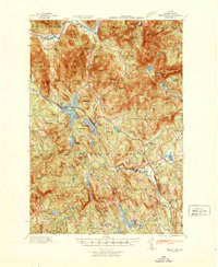
1942 Map of Bryant Pond
USGS Topo · Published 1942About this map
The Androsccogin River winds through the northern portion of this Oxford County landscape, while the Grand Trunk railroad dictates the industrial and social development of the valley to the south. This 1940s tactical survey reveals a transition between river-based industry and mountain terrain, anchored by the village of Bryant Pond and the rail-stop at Locke Mills. The map captures a network of small, rural schoolhouses that served as the backbone of these mountain communities, including Patch Mountain Sch and the Millettville Sch.
Find a feature on this map
143 named features on this map. Tap any name to fly to it.
Don’t see what you’re looking for? This feature index may not catch every label — zoom into the map to look around manually.
Map Details
Editions of this 1942 Bryant Pond Map
This is the sole edition of this map. No revisions or reprints were ever made.
Other maps of this area
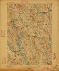
1896 · Norway
USGS Topo · 1:62,500
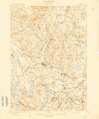
1908 · Poland
USGS Topo · 1:62,500
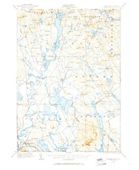
1909 · Fryeburg
USGS Topo · 1:62,500
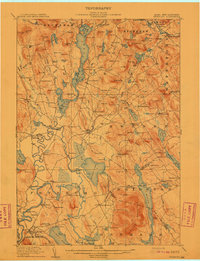
1911 · Fryeburg
USGS Topo · 1:62,500
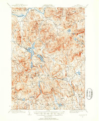
1911 · Bryant Pond
USGS Topo · 1:62,500
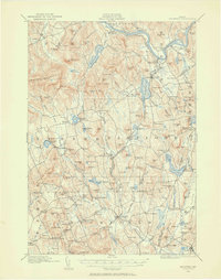
1911 · Buckfield
USGS Topo · 1:62,500
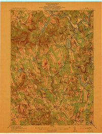
1913 · Buckfield
USGS Topo · 1:62,500
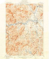
1914 · Bethel
USGS Topo · 1:62,500
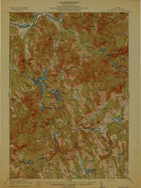
1914 · Bryant Pond
USGS Topo · 1:62,500
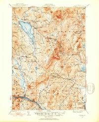
1926 · Dixfield
USGS Topo · 1:62,500