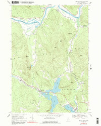
1967 Map of Bryant Pond
USGS Topo · Published 1991About this map
The Grand Trunk railroad corridor anchors the southern valley of this 1967 survey, connecting the villages of Locke Mills and Bryant Pond through the hills of Oxford County. This transportation spine follows the natural drainage of the Alder River, passing through a landscape defined by prominent ledges and high-altitude hills such as Barkers High Ledge and Walkers Mtn. The map preserves the locations of numerous family-named landmarks and historical burial grounds, including the Whales Back Cem and Birds Hill Cem, which offer significant value for genealogical research.
Find a feature on this map
59 named features on this map. Tap any name to fly to it.
Don’t see what you’re looking for? This feature index may not catch every label — zoom into the map to look around manually.
Map Details
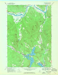
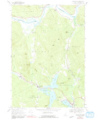
Editions of this 1967 Bryant Pond Map
3 editions found
Other maps of this area

1911 · Bryant Pond
USGS Topo · 1:62,500

1914 · Bethel
USGS Topo · 1:62,500

1914 · Bryant Pond
USGS Topo · 1:62,500

1927 · Rumford
USGS Topo · 1:48,000

1930 · Rumford
USGS Topo · 1:62,500

1940 · Bethel
USGS Topo · 1:62,500

1941 · Bethel
USGS Topo · 1:62,500

1942 · Bryant Pond
USGS Topo · 1:62,500

1943 · Old Speck Mtn
USGS Topo · 1:62,500

1945 · Old Speck Mtn
USGS Topo · 1:62,500