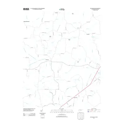
2013 Map of Buchanan
USGS Topo · Published 2013About this map
Kentucky Lake defines the eastern edge of this Henry County landscape, where the waters meet a network of creek drainages that historically shaped the local agriculture. Small communities like Buchanan, Oak Grove, and Mount Pleasant are connected by a dense web of rural roads, many bearing the names of early settling families and local landmarks. This modern survey illustrates how the natural topography, including Owens Hill and various hollows like Crass Hollow and Clayton Hollow, has influenced the positioning of homesteads and infrastructure. The map is a vital resource for tracing local heritage, noting the locations of significant points such as Blood River Church Rd and Beaver Dam Cemetery Rd. The intricate drainage system, featuring the North Fork Blood River Drainage Ditch, highlights the long-standing efforts to manage the low-lying terrain near the Blood River Drainage Ditch.
Find a feature on this map
88 named features on this map. Tap any name to fly to it.
Don’t see what you’re looking for? This feature index may not catch every label — zoom into the map to look around manually.
Map Details
Editions of this 2013 Buchanan Map
This is the sole edition of this map. No revisions or reprints were ever made.
Other maps of this area

1936 · Poplar Creek
USGS Topo · 1:24,000

1936 · Conyersville
USGS Topo · 1:24,000

1936 · Buchanan
USGS Topo · 1:24,000

1936 · Hazel
USGS Topo · 1:24,000

1936 · New Concord
USGS Topo · 1:24,000

1936 · Hamlin
USGS Topo · 1:24,000

1936 · Centerville Landing
USGS Topo · 1:24,000

1936 · Paris
USGS Topo · 1:24,000

1936 · Springville
USGS Topo · 1:24,000

1938 · Springville
USGS Topo · 1:24,000