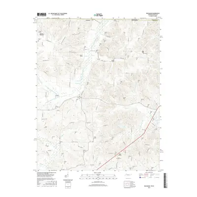
2016 Map of Buchanan
USGS Topo · Published 2016About this map
Mount Pleasant and the surrounding borderlands of Henry County define this rural landscape as it appeared in the mid-2010s. The terrain is deeply carved by a network of waterways including Eagle Cr and the extensive Blood River Drainage Ditch, which channel water toward the eastern edge of the quadrangle near the shores of Kentucky Lake. This map is an exceptional resource for genealogists, documenting a high density of family and community burial grounds such as McGhee Old Slave Cem, Mount Zion Cem, and Valentine Cem. These sites, along with landmarks like Heglar Chapel, suggest a long-established rural social fabric that persists even as the land is utilized for modern agriculture and drainage management. The small settlements of Freeland and Oak Grove serve as local anchors connected by a winding network of country roads like Tobacco Stick Dr and Dogwood Thicket Rd.
Find a feature on this map
117 named features on this map. Tap any name to fly to it.
Don’t see what you’re looking for? This feature index may not catch every label — zoom into the map to look around manually.
Map Details
Editions of this 2016 Buchanan Map
This is the sole edition of this map. No revisions or reprints were ever made.
Other maps of this area
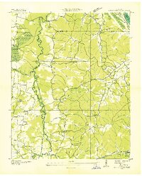
1936 · Poplar Creek
USGS Topo · 1:24,000
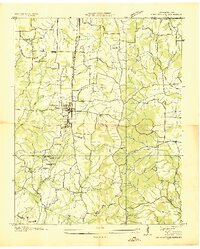
1936 · Conyersville
USGS Topo · 1:24,000
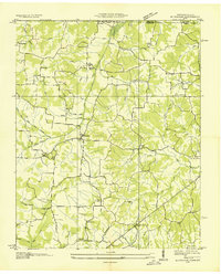
1936 · Buchanan
USGS Topo · 1:24,000
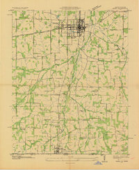
1936 · Hazel
USGS Topo · 1:24,000
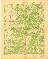
1936 · New Concord
USGS Topo · 1:24,000
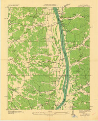
1936 · Hamlin
USGS Topo · 1:24,000
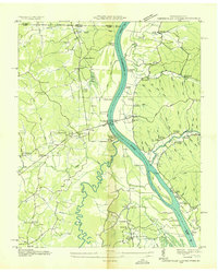
1936 · Centerville Landing
USGS Topo · 1:24,000
1936 · Paris
USGS Topo · 1:24,000
1936 · Springville
USGS Topo · 1:24,000
1938 · Springville
USGS Topo · 1:24,000