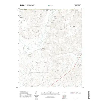
2019 Map of Buchanan
USGS Topo · Published 2019About this map
The rolling hills of Henry County, Tennessee, meet the Kentucky border in this recent survey of the Tennessee River Valley's agricultural hinterland. Tiny communities like Mount Pleasant and Buchanan anchor a landscape defined by an extensive network of family cemeteries and rural churches, including the Blood River Church. The terrain is deeply etched by a system of creeks and drainage projects, such as the N Fork Blood River Drainage Ditch and S Fork Blood River Drainage Ditch, which manage the low-lying areas between Owens Hill and Pine Hill. For genealogists, the map provides an exceptionally dense concentration of family burial sites, from the Old Soldiers Cem to the Valentine Cem, scattered along backcountry routes like Tobacco Stick Dr and Dogwood Thicket RD. This pattern of small-scale settlement and private burial grounds reflects a long-standing tradition of multi-generational land ownership and localized community centers that persists even in the 21st century.
Find a feature on this map
127 named features on this map. Tap any name to fly to it.
Don’t see what you’re looking for? This feature index may not catch every label — zoom into the map to look around manually.
Map Details
Editions of this 2019 Buchanan Map
This is the sole edition of this map. No revisions or reprints were ever made.
Other maps of this area
1936 · Poplar Creek
USGS Topo · 1:24,000
1936 · Conyersville
USGS Topo · 1:24,000
1936 · Buchanan
USGS Topo · 1:24,000
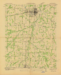
1936 · Hazel
USGS Topo · 1:24,000
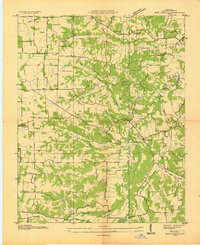
1936 · New Concord
USGS Topo · 1:24,000
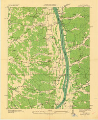
1936 · Hamlin
USGS Topo · 1:24,000
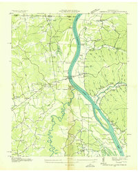
1936 · Centerville Landing
USGS Topo · 1:24,000
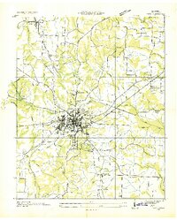
1936 · Paris
USGS Topo · 1:24,000
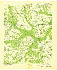
1936 · Springville
USGS Topo · 1:24,000
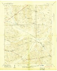
1938 · Springville
USGS Topo · 1:24,000