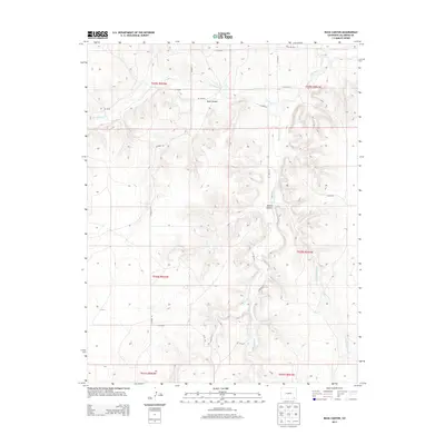
2013 Map of Buck Canyon
USGS Topo · Published 2013About this map
Buck Canyon and Brown Canyon dominate this high-plains landscape in Las Animas County, where the terrain is deeply incised by seasonal watercourses. The drainage network is defined by Two Butte Cr flowing across the northern sections, while Mustang Cr and its tributary, Little Mustang Cr, carve through the southern reaches. This early 21st-century survey illustrates a sparsely populated region primarily organized by a grid of county roads, such as CO Road 211 and Co Rd-70.0, which provide access to this isolated ranching and grazing country. The map reflects the enduring cadastral framework of the Public Land Survey System, showing the townships and ranges that have governed land division here since the late 19th century.
Find a feature on this map
25 named features on this map. Tap any name to fly to it.
Don’t see what you’re looking for? This feature index may not catch every label — zoom into the map to look around manually.
Map Details
Editions of this 2013 Buck Canyon Map
This is the sole edition of this map. No revisions or reprints were ever made.
Other maps of this area
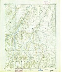
1891 · Higbee
USGS Topo · 1:125,000
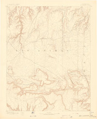
1892 · Mt Carrizo
USGS Topo · 1:125,000
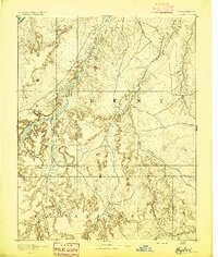
1893 · Higbee
USGS Topo · 1:125,000

1955 · La Junta
USGS Topo · 1:250,000

1958 · La Junta
USGS Topo · 1:250,000

1968 · La Junta
USGS Topo · 1:250,000
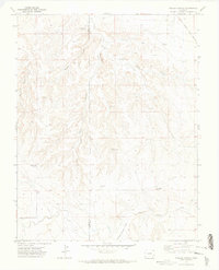
1971 · Walker Canyon
USGS Topo · 1:24,000
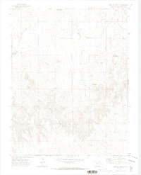
1971 · Plug Hat Ranch
USGS Topo · 1:24,000
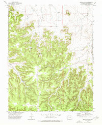
1972 · Brown Canyon
USGS Topo · 1:24,000
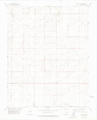
1978 · Utleyville
USGS Topo · 1:24,000