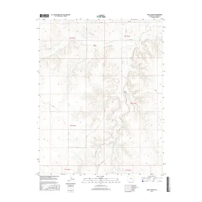
2016 Map of Buck Canyon
USGS Topo · Published 2016About this map
Buck Canyon and Brown Canyon dominate the topography of this high plains section of Las Animas County. The landscape is defined by a dendritic drainage network where intermittent streams like Two Butte Cr and Mustang Cr have carved deep relief into the terrain. This 2016 survey illustrates the extensive rural road system, including Co RD 215 and Co RD 56, which follow the section lines and natural contours of the land. The presence of O U Cr and Little Mustang Cr suggests a complex watershed in a region primarily used for large-scale ranching and land management, with the Public Land Survey System grid clearly marking out townships like t30s r51w.
Find a feature on this map
25 named features on this map. Tap any name to fly to it.
Don’t see what you’re looking for? This feature index may not catch every label — zoom into the map to look around manually.
Map Details
Editions of this 2016 Buck Canyon Map
This is the sole edition of this map. No revisions or reprints were ever made.
Other maps of this area
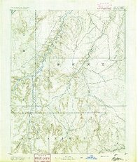
1891 · Higbee
USGS Topo · 1:125,000
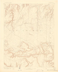
1892 · Mt Carrizo
USGS Topo · 1:125,000
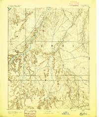
1893 · Higbee
USGS Topo · 1:125,000

1955 · La Junta
USGS Topo · 1:250,000

1958 · La Junta
USGS Topo · 1:250,000

1968 · La Junta
USGS Topo · 1:250,000
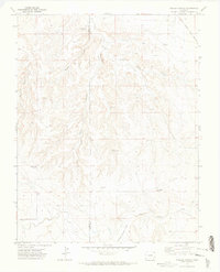
1971 · Walker Canyon
USGS Topo · 1:24,000
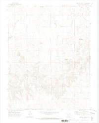
1971 · Plug Hat Ranch
USGS Topo · 1:24,000
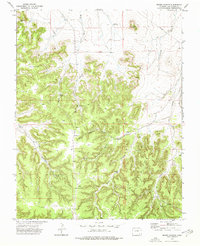
1972 · Brown Canyon
USGS Topo · 1:24,000
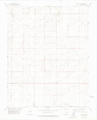
1978 · Utleyville
USGS Topo · 1:24,000