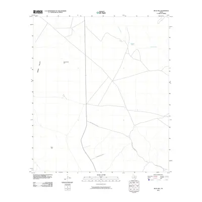
2010 Map of Buck Hill
USGS Topo · Published 2010About this map
Buck Hill and Butcherknife Hill dominate this arid landscape in Brewster County, marking a stretch of West Texas characterized by wide basins and isolated water sources. This 2010 survey illustrates the ranching infrastructure typical of the region, where the vast Green Valley is intersected by long-distance routes like Nine Point Mesa Ranch Rd and Commanche Prairie Rd. The presence of Broken Tank along the drainage of Calamity Creek highlights the critical importance of water management in this high-desert environment. This sheet provides a clear look at the sparse, modern road network and topographic landmarks used by local ranchers and land managers in the 21st century.
Find a feature on this map
7 named features on this map. Tap any name to fly to it.
Don’t see what you’re looking for? This feature index may not catch every label — zoom into the map to look around manually.
Map Details
Editions of this 2010 Buck Hill Map
This is the sole edition of this map. No revisions or reprints were ever made.
Other maps of this area
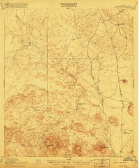
1917 · Agua Fria
USGS Topo · 1:62,500
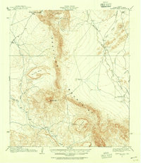
1917 · Santiago Peak
USGS Topo · 1:62,500
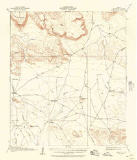
1917 · Buck Hill
USGS Topo · 1:62,500
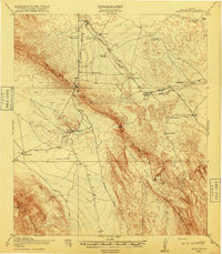
1918 · Bone Spring
USGS Topo · 1:125,000
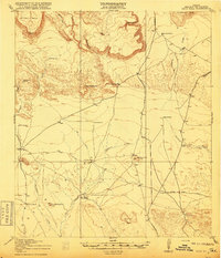
1918 · Buck Hill
USGS Topo · 1:62,500
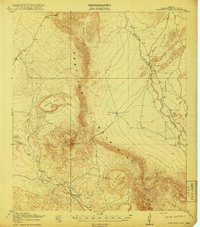
1918 · Santiago Peak
USGS Topo · 1:62,500
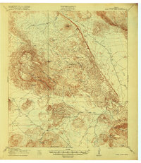
1918 · Nine Point Mesa
USGS Topo · 1:62,500
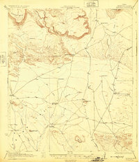
1925 · Buck Hill
USGS Topo · 1:62,500
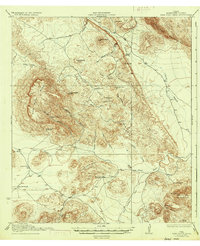
1937 · Nine Point Mesa
USGS Topo · 1:62,500
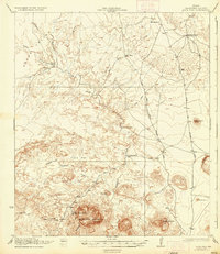
1937 · Agua Fria
USGS Topo · 1:62,500