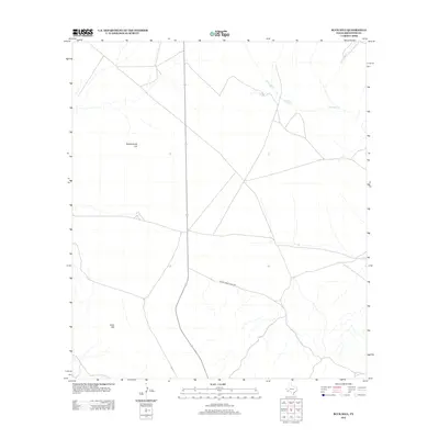
2012 Map of Buck Hill
USGS Topo · Published 2012About this map
Buck Hill and Butcherknife Hill rise from this high desert landscape in Brewster County, marking the distinctive topography of the Trans-Pecos region. In this 2012 survey, the terrain is characterized by sparse water sources and long-established ranching infrastructure, such as the isolated Broken Tank and the seasonal drainage of Calamity Cr. The human footprint is defined by limited road access, primarily the 9 Point Mesa Ranch Rd and state highway corridors that traverse the open range. This map documents a quiet corner of West Texas, where geographical features named for early frontier life and local wildlife remain the primary landmarks for generations of land users.
Find a feature on this map
5 named features on this map. Tap any name to fly to it.
Don’t see what you’re looking for? This feature index may not catch every label — zoom into the map to look around manually.
Map Details
Editions of this 2012 Buck Hill Map
This is the sole edition of this map. No revisions or reprints were ever made.
Other maps of this area
1917 · Agua Fria
USGS Topo · 1:62,500
1917 · Santiago Peak
USGS Topo · 1:62,500
1917 · Buck Hill
USGS Topo · 1:62,500
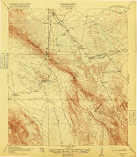
1918 · Bone Spring
USGS Topo · 1:125,000
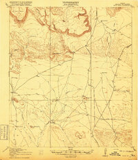
1918 · Buck Hill
USGS Topo · 1:62,500
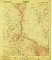
1918 · Santiago Peak
USGS Topo · 1:62,500
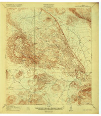
1918 · Nine Point Mesa
USGS Topo · 1:62,500
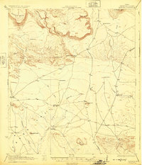
1925 · Buck Hill
USGS Topo · 1:62,500
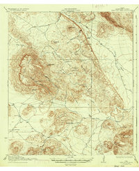
1937 · Nine Point Mesa
USGS Topo · 1:62,500
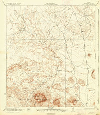
1937 · Agua Fria
USGS Topo · 1:62,500