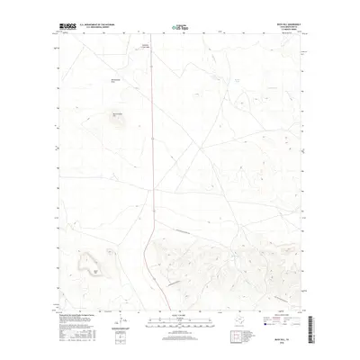
2016 Map of Buck Hill
USGS Topo · Published 2016About this map
The Chihuahuan Desert landscape of Brewster County is defined here by ephemeral watercourses and isolated peaks. Buck Hill and Butcherknife Hill dominate the western portion of the terrain, rising above the surrounding flats where drainage is managed by features like Butcherknife Draw. The presence of Stone Tank and Broken Tank suggests the critical importance of water management for livestock in this arid ranching country. Human movement through this section of the Trans-Pecos relies on a sparse network of roads, including Commanche Prairie Rd and Nine Point Mesa Ranch Rd, which navigate the contours between the high ground and the wide Calamity Creek Wash that cuts through the northern reaches.
Find a feature on this map
10 named features on this map. Tap any name to fly to it.
Don’t see what you’re looking for? This feature index may not catch every label — zoom into the map to look around manually.
Map Details
Editions of this 2016 Buck Hill Map
This is the sole edition of this map. No revisions or reprints were ever made.
Other maps of this area
1917 · Agua Fria
USGS Topo · 1:62,500
1917 · Santiago Peak
USGS Topo · 1:62,500
1917 · Buck Hill
USGS Topo · 1:62,500
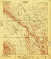
1918 · Bone Spring
USGS Topo · 1:125,000
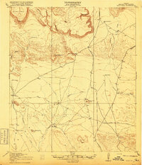
1918 · Buck Hill
USGS Topo · 1:62,500
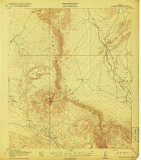
1918 · Santiago Peak
USGS Topo · 1:62,500
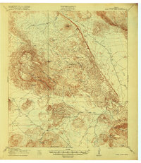
1918 · Nine Point Mesa
USGS Topo · 1:62,500
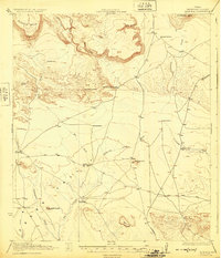
1925 · Buck Hill
USGS Topo · 1:62,500
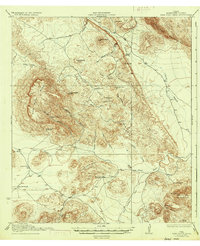
1937 · Nine Point Mesa
USGS Topo · 1:62,500
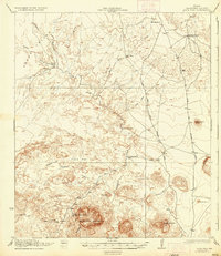
1937 · Agua Fria
USGS Topo · 1:62,500