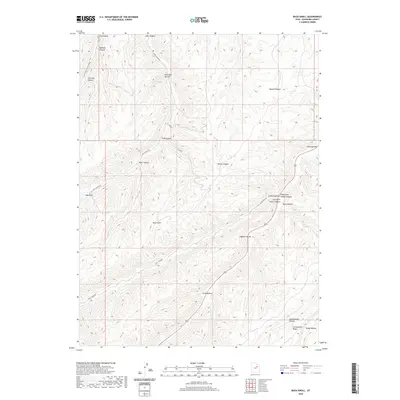
2020 Map of Buck Knoll
USGS Topo · Published 2020About this map
Buck Knoll stands as a central high point in this Duchesne County landscape, where the high desert terrain is defined by a dense network of branching canyons and hollows. The eastern portion of the map is dominated by the steep drainage of Indian Canyon, joined by the Right Fork Indian Canyon and Left Fork Indian Canyon near Davis Hollow. This 2020 survey illustrates a region largely shaped by its topography and the limited access provided by routes like Lake Canyon Rd and the Right Fork Rd.
Find a feature on this map
26 named features on this map. Tap any name to fly to it.
Don’t see what you’re looking for? This feature index may not catch every label — zoom into the map to look around manually.
Map Details
Editions of this 2020 Buck Knoll Map
This is the sole edition of this map. No revisions or reprints were ever made.
Other maps of this area

1885 · Uinta
USGS Topo · 1:250,000

1886 · Price River
USGS Topo · 1:250,000

1896 · Price River
USGS Topo · 1:250,000

1939 · Duchesne
USGS Topo · 1:125,000

1954 · Salt Lake City
USGS Topo · 1:250,000

1956 · Price
USGS Topo · 1:250,000

1958 · Salt Lake City
USGS Topo · 1:250,000

1960 · Salt Lake City
USGS Topo · 1:250,000

1960 · Price
USGS Topo · 1:250,000

1962 · Price
USGS Topo · 1:250,000