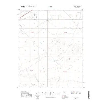
2018 Map of Buck Mountains
USGS Topo · Published 2018About this map
Buck Mountains dominate this arid landscape within the Mojave Desert of Mohave County. The topography is defined by the drainage patterns of Buck Mountain Wash and Franconia Wash, which cut through the broad expanse of Dutch Flat in the northern reaches of the map. While the terrain is primarily open desert, a complex grid of rural tracks and utility corridors crisscrosses the area. Notable transportation history is preserved in the alignment of National Old Trails Rd, which runs parallel to modern utility infrastructure like Powerline Rd. The map reveals a transition from the lower alluvial plains into the elevated relief of the mountains, with several named residential and service roads such as Spirit Ridge Rd and Franconia Rd indicating modern land divisions and scattered settlement in this remote portion of Arizona.
Find a feature on this map
27 named features on this map. Tap any name to fly to it.
Don’t see what you’re looking for? This feature index may not catch every label — zoom into the map to look around manually.
Map Details
Editions of this 2018 Buck Mountains Map
This is the sole edition of this map. No revisions or reprints were ever made.
Other maps of this area

1903 · Needles
USGS Topo · 1:125,000

1904 · Needles Special
USGS Topo · 1:125,000

1927 · Yucca
USGS Topo · 1:62,500

1927 · Buck Mountains
USGS Topo · 1:62,500

1929 · Buck Mountains
USGS Topo · 1:62,500

1929 · Yucca
USGS Topo · 1:62,500

1943 · Topock
USGS Topo · 1:62,500

1950 · Topock
USGS Topo · 1:62,500

1951 · Topock
USGS Topo · 1:62,500

1954 · Needles
USGS Topo · 1:250,000