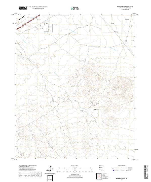
2021 Map of Buck Mountains
USGS Topo · Published 2021About this map
Buck Mountains dominate the eastern landscape of this Mohave County quadrangle, rising above the arid expanse of the Mojave Desert. The map documents a corridor of infrastructure and historical transit, most notably featuring the National Old Trails Rd, a precursor to later transcontinental highways. The desert floor is bisected by seasonal drainage systems such as Buck Mountain Wash and Franconia Wash, which flow toward the northwest. Modern utility and transport routes like Powerline Rd and Pipeline Rd follow the natural contours of Dutch Flat. Residential and local markers, including Dorothy Rd and Ali Chuk Rd, indicate pockets of desert settlement amidst the expansive township and range divisions of T16N and T15N.
Find a feature on this map
26 named features on this map. Tap any name to fly to it.
Don’t see what you’re looking for? This feature index may not catch every label — zoom into the map to look around manually.
Map Details
Editions of this 2021 Buck Mountains Map
This is the sole edition of this map. No revisions or reprints were ever made.
Other maps of this area

1903 · Needles
USGS Topo · 1:125,000

1904 · Needles Special
USGS Topo · 1:125,000

1927 · Yucca
USGS Topo · 1:62,500

1927 · Buck Mountains
USGS Topo · 1:62,500

1929 · Buck Mountains
USGS Topo · 1:62,500

1929 · Yucca
USGS Topo · 1:62,500

1943 · Topock
USGS Topo · 1:62,500

1950 · Topock
USGS Topo · 1:62,500

1951 · Topock
USGS Topo · 1:62,500

1954 · Needles
USGS Topo · 1:250,000