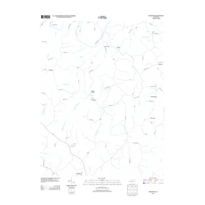
2013 Map of Buckeye
USGS Topo · Published 2013About this map
Kentucky River bottomlands define the northwestern reaches of this Garrard County landscape, where the sharp meander at Devils Elbow and the infrastructure of Lock 8 Rd highlight the waterway's historical importance. The terrain is deeply carved by the branching systems of Sugar Cr and its tributaries, including the Middle Fork Sugar Cr and E Fork Sugar Cr. This drainage pattern influenced a network of ridge-top settlements and crossroad communities such as Buckeye, Teatersville, and Bourne. At the southern margin, the edge of Lancaster appears, while the interior features local landmarks like Leavell Ridge and Teaters Btm. The road names, including Jack Black Rd and Tommy Murphy Rd, reflect deep-rooted local landownership and family history in this rural central Kentucky region.
Find a feature on this map
67 named features on this map. Tap any name to fly to it.
Don’t see what you’re looking for? This feature index may not catch every label — zoom into the map to look around manually.
Map Details
Editions of this 2013 Buckeye Map
This is the sole edition of this map. No revisions or reprints were ever made.
Other maps of this area

1892 · Richmond
USGS Topo · 1:125,000

1897 · Richmond
USGS Topo · 1:125,000

1905 · Harrodsburg
USGS Topo · 1:125,000

1950 · Bryantsville
USGS Topo · 1:24,000

1952 · Valley View
USGS Topo · 1:24,000

1952 · Little Hickman
USGS Topo · 1:24,000

1952 · Buckeye
USGS Topo · 1:24,000

1952 · Paint Lick
USGS Topo · 1:24,000

1952 · Lancaster
USGS Topo · 1:24,000

1952 · Bryantsville
USGS Topo · 1:24,000