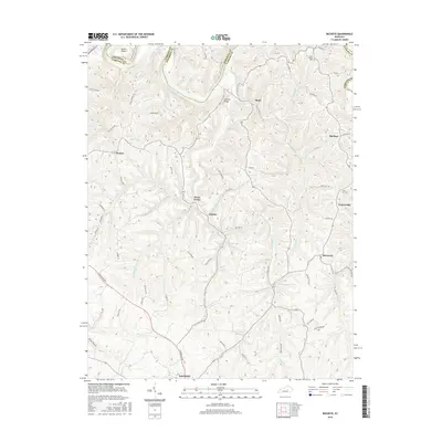
2016 Map of Buckeye
USGS Topo · Published 2016About this map
The Kentucky River winds along the northern boundary of this Garrard County landscape, carving a deep path past Devils Elbow and Leavell Ridge. The terrain is defined by the intricate drainage of Sugar Creek and its many branches, including W Fork Sugar Cr and Scotch Fork. At the southern edge, the city of Lancaster serves as the primary hub, where Lexington Rd and Boones Creek Rd converge.
Find a feature on this map
61 named features on this map. Tap any name to fly to it.
Don’t see what you’re looking for? This feature index may not catch every label — zoom into the map to look around manually.
Map Details
Editions of this 2016 Buckeye Map
This is the sole edition of this map. No revisions or reprints were ever made.
Other maps of this area

1892 · Richmond
USGS Topo · 1:125,000

1897 · Richmond
USGS Topo · 1:125,000

1905 · Harrodsburg
USGS Topo · 1:125,000

1950 · Bryantsville
USGS Topo · 1:24,000

1952 · Valley View
USGS Topo · 1:24,000

1952 · Little Hickman
USGS Topo · 1:24,000

1952 · Buckeye
USGS Topo · 1:24,000

1952 · Paint Lick
USGS Topo · 1:24,000

1952 · Lancaster
USGS Topo · 1:24,000

1952 · Bryantsville
USGS Topo · 1:24,000