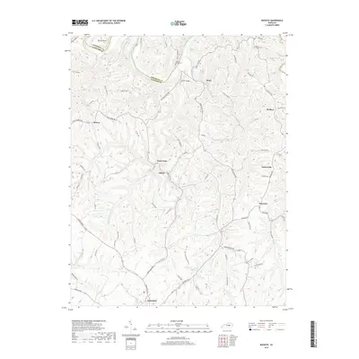
2019 Map of Buckeye
USGS Topo · Published 2019About this map
Lancaster sits at the southern edge of this Central Kentucky landscape, where the plateau begins its descent toward the deeply incised Kentucky River. The terrain is defined by the complex drainage systems of Sugar Creek and its various branches, including the W Fork Sugar Cr and Middle Fork Sugar Cr, which have carved a dense network of ridges and hollows. Small upland settlements such as Buckeye, Teatersville, and Judson are connected by a web of rural roads that follow these high contours, like Leavell Ridge RD and Poor Ridge Pike.
Find a feature on this map
73 named features on this map. Tap any name to fly to it.
Don’t see what you’re looking for? This feature index may not catch every label — zoom into the map to look around manually.
Map Details
Editions of this 2019 Buckeye Map
This is the sole edition of this map. No revisions or reprints were ever made.
Other maps of this area

1892 · Richmond
USGS Topo · 1:125,000

1897 · Richmond
USGS Topo · 1:125,000

1905 · Harrodsburg
USGS Topo · 1:125,000

1950 · Bryantsville
USGS Topo · 1:24,000

1952 · Valley View
USGS Topo · 1:24,000

1952 · Little Hickman
USGS Topo · 1:24,000

1952 · Buckeye
USGS Topo · 1:24,000

1952 · Paint Lick
USGS Topo · 1:24,000

1952 · Lancaster
USGS Topo · 1:24,000

1952 · Bryantsville
USGS Topo · 1:24,000