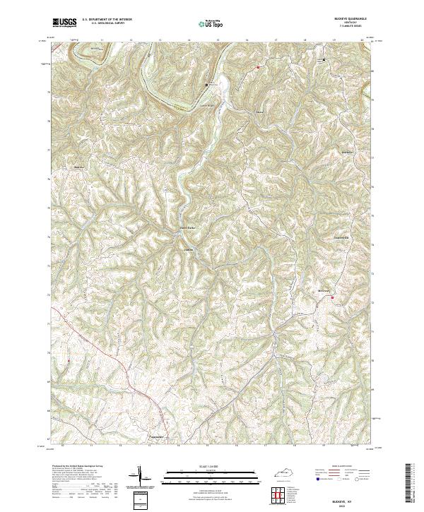
2022 Map of Buckeye
USGS Topo · Published 2022About this map
Lancaster sits at the southern edge of this Central Kentucky landscape, where the rolling uplands of Garrard County meet the deeply carved drainage of the Kentucky River. The terrain is defined by the winding paths of Sugar Cr and its various branches, creating a complex series of ridges and bottoms such as Teaters Bottom. Local transit and settlement patterns follow these contours, with historic hamlets like Buckeye and Teatersville positioned at rural crossroads away from the river's immediate gorge.
Find a feature on this map
78 named features on this map. Tap any name to fly to it.
Don’t see what you’re looking for? This feature index may not catch every label — zoom into the map to look around manually.
Map Details
Editions of this 2022 Buckeye Map
This is the sole edition of this map. No revisions or reprints were ever made.
Other maps of this area

1892 · Richmond
USGS Topo · 1:125,000

1897 · Richmond
USGS Topo · 1:125,000

1905 · Harrodsburg
USGS Topo · 1:125,000

1950 · Bryantsville
USGS Topo · 1:24,000

1952 · Valley View
USGS Topo · 1:24,000

1952 · Little Hickman
USGS Topo · 1:24,000

1952 · Buckeye
USGS Topo · 1:24,000

1952 · Paint Lick
USGS Topo · 1:24,000

1952 · Lancaster
USGS Topo · 1:24,000

1952 · Bryantsville
USGS Topo · 1:24,000