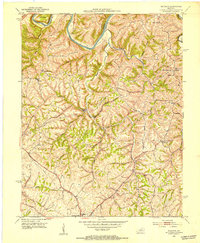
1952 Map of Buckeye
USGS Topo · Published 1953About this map
The Kentucky River carves a sharp, distinctive path through the northern portion of this landscape, most notably at the dramatic horseshoe bend of Devils Elbow. This early 1950s survey captures a central Kentucky terrain defined by narrow ridges and deep drainage systems like Sugar Creek and Boone Creek. The settlement pattern follows the high ground, with small crossroads communities such as Buckeye, Teatersville, and Bourne serving as local hubs.
Find a feature on this map
29 named features on this map. Tap any name to fly to it.
Don’t see what you’re looking for? This feature index may not catch every label — zoom into the map to look around manually.
Map Details
Editions of this 1952 Buckeye Map
This is the sole edition of this map. No revisions or reprints were ever made.
Other maps of this area

1892 · Richmond
USGS Topo · 1:125,000

1897 · Richmond
USGS Topo · 1:125,000

1905 · Harrodsburg
USGS Topo · 1:125,000
1950 · Bryantsville
USGS Topo · 1:24,000
1952 · Valley View
USGS Topo · 1:24,000
1952 · Little Hickman
USGS Topo · 1:24,000
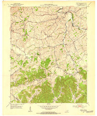
1952 · Paint Lick
USGS Topo · 1:24,000
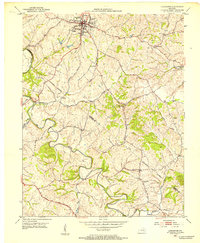
1952 · Lancaster
USGS Topo · 1:24,000
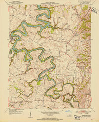
1952 · Bryantsville
USGS Topo · 1:24,000
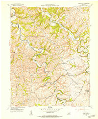
1952 · Kirksville
USGS Topo · 1:24,000