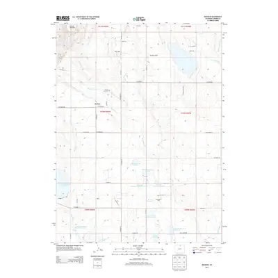
2013 Map of Buckeye
USGS Topo · Published 2013About this map
Buckeye and the nearby Buckeye Ranch Cem anchor this northern Larimer County landscape, where the high plains meet managed water systems. The terrain is defined by a series of engineered water bodies, including Box I Reservoir Number 1, Barrett Reservoir, and several units of the N Poudre Reservoir Number 15. These reservoirs, connected by irrigation infrastructure like the Buckeye Lateral and Park Cr Lateral, illustrate the intensive water management required for agriculture and industry in this arid region. To the north, the elevation rises toward Gilman Mountain, overlooking Rawhide Flats and the distinct drainage of Wire Draw. The presence of the Wellington Oil Field near the center of the map highlights the area's extraction history, while the small settlement of Ripple sits along the southern roads, showing the persistent footprint of rural Colorado commerce.
Find a feature on this map
58 named features on this map. Tap any name to fly to it.
Don’t see what you’re looking for? This feature index may not catch every label — zoom into the map to look around manually.
Map Details
Editions of this 2013 Buckeye Map
This is the sole edition of this map. No revisions or reprints were ever made.
Other maps of this area
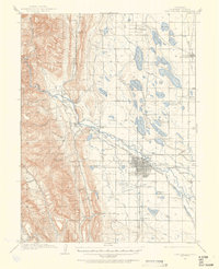
1906 · Fort Collins
USGS Topo · 1:62,500
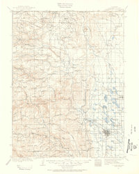
1907 · Livermore
USGS Topo · 1:125,000
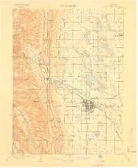
1908 · Fort Collins
USGS Topo · 1:62,500
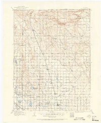
1908 · Eaton
USGS Topo · 1:125,000
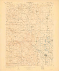
1909 · Livermore
USGS Topo · 1:125,000
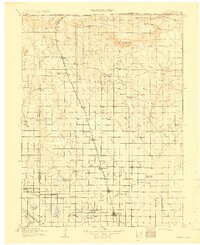
1910 · Eaton
USGS Topo · 1:125,000
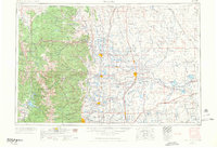
1954 · Greeley
USGS Topo · 1:250,000
1957 · Greeley
USGS Topo · 1:250,000
1958 · Greeley
USGS Topo · 1:250,000
1960 · Livermore
USGS Topo · 1:24,000