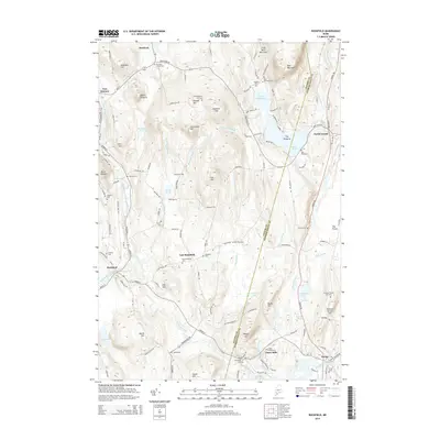
2014 Map of Buckfield
USGS Topo · Published 2014About this map
Buckfield and North Turner anchor a landscape defined by the winding paths of the Nezinscot River and its various branches. The region is characterized by a high concentration of family-named landmarks and rural burial grounds, including the DeCoster Cem, Harlow Cem, and the Chase Family Cem near the settlement of Chase Mills. These sites offer a direct connection to the early settlement patterns of Androscoggin and Oxford counties. Elevated features like Deacon Pinnacle, Mount Oxford, and General Turner Hill rise above the river valleys, where water bodies such as Bear Pond and the marshy Jersey Bog dominate the lowlands. The road network, featuring names like Town Farm Rd and Old Town Farm Rd, reflects the agricultural heritage and community infrastructure of these Maine townships.
Find a feature on this map
120 named features on this map. Tap any name to fly to it.
Don’t see what you’re looking for? This feature index may not catch every label — zoom into the map to look around manually.
Map Details
Editions of this 2014 Buckfield Map
This is the sole edition of this map. No revisions or reprints were ever made.
Other maps of this area

1908 · Poland
USGS Topo · 1:62,500

1908 · Lewiston
USGS Topo · 1:62,500

1910 · Livermore
USGS Topo · 1:62,500

1911 · Buckfield
USGS Topo · 1:62,500

1912 · Livermore
USGS Topo · 1:62,500

1913 · Buckfield
USGS Topo · 1:62,500

1940 · Poland
USGS Topo · 1:62,500

1941 · Livermore
USGS Topo · 1:62,500

1942 · Lewiston
USGS Topo · 1:62,500

1942 · Buckfield
USGS Topo · 1:62,500