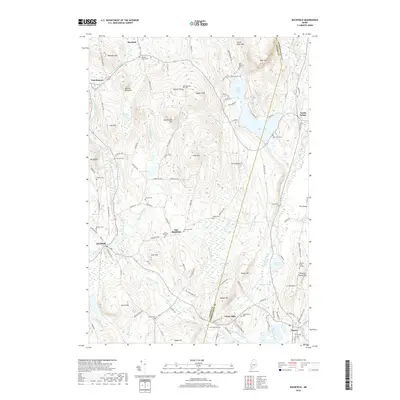
2018 Map of Buckfield
USGS Topo · Published 2018About this map
The hills and watercourses of western Maine dominate this landscape along the border of Oxford and Androscoggin Counties. In the southwest, the village of Buckfield sits near the East Branch Nezinscot River, where a prominent Railroad Bed Rd suggests the path of former rail commerce through the valley. The terrain is marked by numerous family and community burial grounds, including the Meetinghouse Hill Cem near Russell Hill and the DeCoster Cem in East Buckfield.
Find a feature on this map
118 named features on this map. Tap any name to fly to it.
Don’t see what you’re looking for? This feature index may not catch every label — zoom into the map to look around manually.
Map Details
Editions of this 2018 Buckfield Map
This is the sole edition of this map. No revisions or reprints were ever made.
Other maps of this area

1908 · Poland
USGS Topo · 1:62,500

1908 · Lewiston
USGS Topo · 1:62,500

1910 · Livermore
USGS Topo · 1:62,500

1911 · Buckfield
USGS Topo · 1:62,500

1912 · Livermore
USGS Topo · 1:62,500

1913 · Buckfield
USGS Topo · 1:62,500

1940 · Poland
USGS Topo · 1:62,500

1941 · Livermore
USGS Topo · 1:62,500

1942 · Lewiston
USGS Topo · 1:62,500

1942 · Buckfield
USGS Topo · 1:62,500