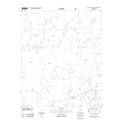
2011 Map of Buckhorn Mountain
USGS Topo · Published 2011About this map
Buckhorn Mountain and the surrounding high desert of Yavapai County are defined by a complex network of water management features and rugged volcanic geography. This 2011 survey illustrates the reliance on livestock infrastructure across the plateau, marked by an extensive system of tanks such as Buckhorn Tank Number One, Home Tank Number One, and Rim Tank. The topography is punctuated by prominent landforms including Sugarloaf, Tule Butte, and Salmon Lake Butte, while West Clear Creek carves through the central landscape. The solitary V Lazy Y Cabin stands as a point of human settlement amidst expansive grazing lands like Sandrock Pasture and Indian Flat. The presence of numerous springs, including Big Spring and the Clear Creek Number Three Spring, highlights the critical water sources that have supported ranching operations in this arid region for generations.
Find a feature on this map
77 named features on this map. Tap any name to fly to it.
Don’t see what you’re looking for? This feature index may not catch every label — zoom into the map to look around manually.
Map Details
Editions of this 2011 Buckhorn Mountain Map
This is the sole edition of this map. No revisions or reprints were ever made.
Other maps of this area

1887 · Verde
USGS Topo · 1:250,000

1892 · Verde
USGS Topo · 1:250,000

1923 · Camp Verde
USGS Topo · 1:125,000

1929 · Turret Peak
USGS Topo · 1:125,000

1932 · Camp Verde
USGS Topo · 1:125,000

1933 · Turret Peak
USGS Topo · 1:125,000

1934 · Pine
USGS Topo · 1:62,500

1936 · Camp Verde
USGS Topo · 1:125,000

1940 · Pine
USGS Topo · 1:62,500

1952 · Pine
USGS Topo · 1:62,500