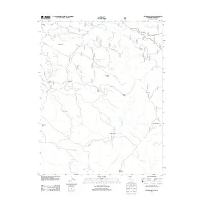
2012 Map of Buckhorn Peak
USGS Topo · Published 2012About this map
The N Fork Merced River carves a deep path through this Mariposa County landscape, where the rugged topography is defined by prominent elevations like Buckhorn Peak and Jackass Mountain. This area reveals a history of resource extraction and transit, evidenced by a network of specialized routes such as Red Cloud Mine Rd, Bondurant Mine Rd, and Quail Mine Rd. These corridors snake through the terrain, connecting high ridges to low-lying drainages like Chinese Gulch and Indian Gulch.
Find a feature on this map
38 named features on this map. Tap any name to fly to it.
Don’t see what you’re looking for? This feature index may not catch every label — zoom into the map to look around manually.
Map Details
Editions of this 2012 Buckhorn Peak Map
This is the sole edition of this map. No revisions or reprints were ever made.
Other maps of this area

1893 · Sonora
USGS Topo · 1:125,000

1896 · Sonora
USGS Topo · 1:125,000

1897 · Sonora
USGS Topo · 1:125,000

1897 · Yosemite
USGS Topo · 1:125,000

1898 · Sonora
USGS Topo · 1:125,000

1900 · Yosemite
USGS Topo · 1:125,000

1903 · Yosemite
USGS Topo · 1:125,000

1909 · Yosemite
USGS Topo · 1:125,000

1947 · San Jose
USGS Topo · 1:250,000

1947 · Mariposa
USGS Topo · 1:250,000