Loading...
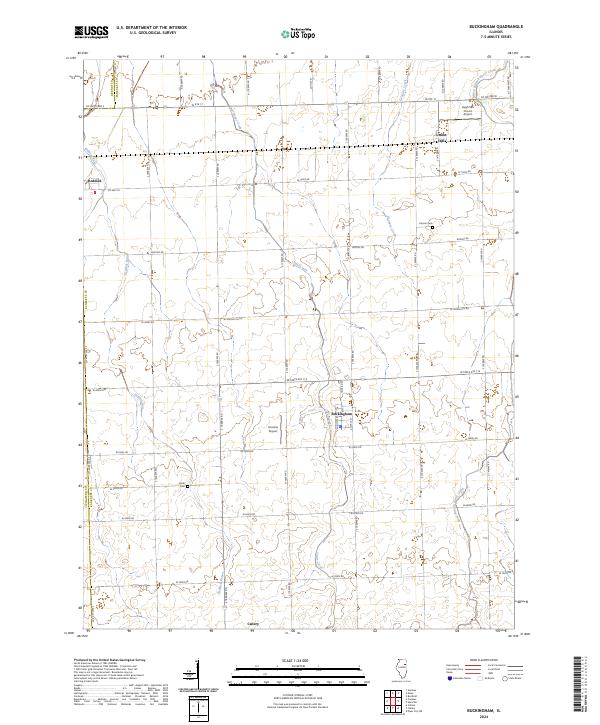
Loading map...2024 Map of Buckingham
USGS Topo · Published 2024About this map
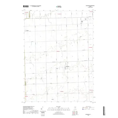
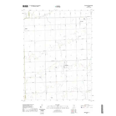
Agricultural patterns and a network of county roads define this corner of Kankakee County, where the village of Buckingham serves as a central point of the landscape. The terrain is drained by several meandering watercourses, including Crane Creek and Reddick Run, which cut through the grid-like township divisions. To the northwest, Reddick sits along the county line, while Union Hill and Cabery anchor the northern and southern reaches of the map respectively.
Find a feature on this map
29 named features on this map. Tap any name to fly to it.
Don’t see what you’re looking for? This feature index may not catch every label — zoom into the map to look around manually.
Map Details
Date Portrayed2024
Date Published2024
PublisherU.S. Geological Survey
Map TypeTopographic
Scale1:24,000
Physical Dimensions24 x 29 inches
Editions of this 2024 Buckingham Map
This is the sole edition of this map. No revisions or reprints were ever made.
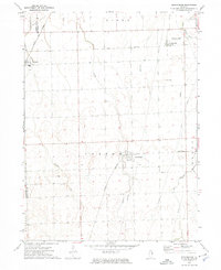
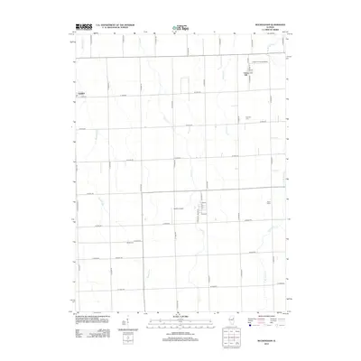
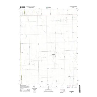
Historical Maps of Buckingham Through Time
6 maps found
Featured Locations
Source Details
SourceU.S. Geological Survey
CopyrightPublic Domain