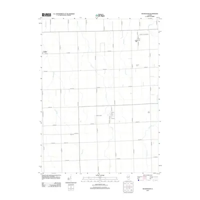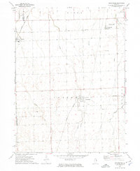
1973 Map of Buckingham
USGS Topo · Published 1975About this map
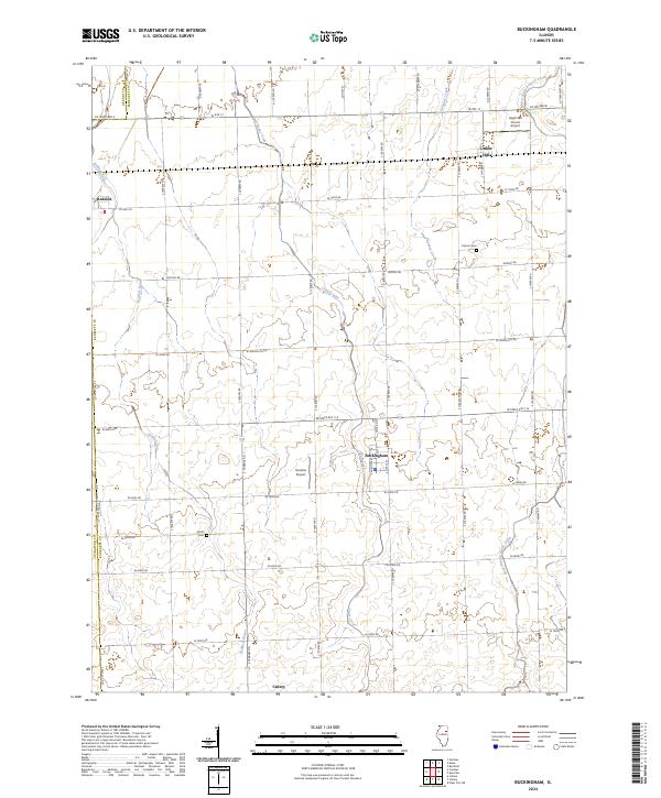
Buckingham and Reddick serve as the primary hubs in this agricultural landscape at the intersection of Kankakee, Livingston, and Grundy counties. The regional economy is defined by its rail connections, with the Norfolk and Western and Illinois Central Gulf lines facilitating the transport of goods across the flat prairie. Water management is evident through the courses of Crane Creek, Granary Creek, and the West Branch Horse Creek, which provide drainage for the surrounding townships of Norton, Essex, and Round Grove. Genealogists will find local history preserved at Colman Cem and Smith Cem. Notable local landmarks include the Hugh Van Voorst Landing Strip and Appel Siding, reflecting the integration of private aviation and rail infrastructure within the rural fabric of the early 1970s.
Find a feature on this map
25 named features on this map. Tap any name to fly to it.
Don’t see what you’re looking for? This feature index may not catch every label — zoom into the map to look around manually.
Map Details
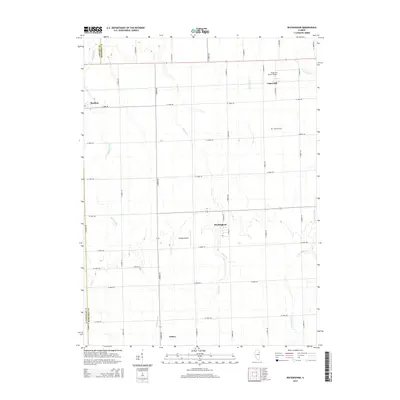
Editions of this 1973 Buckingham Map
This is the sole edition of this map. No revisions or reprints were ever made.
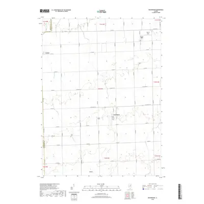
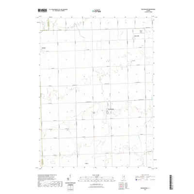
Historical Maps of Buckingham Through Time
6 maps found