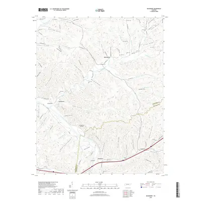
2019 Map of Bucksnort
USGS Topo · Published 2019About this map
Duck River meanders across this landscape in the western valley of middle Tennessee, carving through a complex system of hollows and ridges. The settlement patterns follow these narrow valleys, with Bold Spring and Taylortown serving as historic focal points among the hills. A remarkably dense concentration of family burial grounds is documented here, including Young Cemetery, Potter Cem, and Vineyard Cem, which provide essential touchpoints for genealogical research in this rural pocket.
Find a feature on this map
106 named features on this map. Tap any name to fly to it.
Don’t see what you’re looking for? This feature index may not catch every label — zoom into the map to look around manually.
Map Details
Editions of this 2019 Bucksnort Map
This is the sole edition of this map. No revisions or reprints were ever made.
Other maps of this area

1936 · Gorman
USGS Topo · 1:24,000

1936 · Hurricane Mills
USGS Topo · 1:24,000

1936 · Coble
USGS Topo · 1:24,000

1936 · Whitfield
USGS Topo · 1:24,000

1936 · Bucksnort
USGS Topo · 1:24,000

1936 · Spot
USGS Topo · 1:24,000

1936 · Lobelville
USGS Topo · 1:24,000

1936 · Waverly
USGS Topo · 1:24,000

1936 · Tennessee City
USGS Topo · 1:24,000
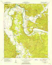
1950 · Hurricane Mills
USGS Topo · 1:24,000