
1936 Map of Tennessee City
USGS Topo · Published 1936About this map
Tennessee City sits at a critical geographic and infrastructure junction where the Nashville Chattanooga and St Louis railway and Highway No 70 traverse the Tennessee Divide. This mid-1930s survey, compiled from aerial photography by the Tennessee Valley Authority and the USGS, reveals a landscape defined by its complex drainage network, with countless hollows like Jaybird Hollow and Adam Hollow feeding into the Hurricane Creek system.
Find a feature on this map
81 named features on this map. Tap any name to fly to it.
Don’t see what you’re looking for? This feature index may not catch every label — zoom into the map to look around manually.
Map Details
Editions of this 1936 Tennessee City Map
This is the sole edition of this map. No revisions or reprints were ever made.
Other maps of this area

1901 · Colombia
USGS Topo · 1:125,000

1936 · Gorman
USGS Topo · 1:24,000

1936 · Woolworth
USGS Topo · 1:24,000

1936 · Ruskin
USGS Topo · 1:24,000

1936 · Bucksnort
USGS Topo · 1:24,000

1936 · Texas Hollow
USGS Topo · 1:24,000

1936 · Spot
USGS Topo · 1:24,000

1936 · Dickson
USGS Topo · 1:24,000
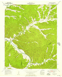
1952 · Bucksnort
USGS Topo · 1:24,000
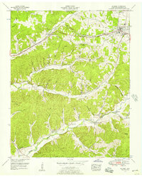
1952 · Mc Ewen
USGS Topo · 1:24,000