
1936 Map of Dickson
USGS Topo · Published 1936About this map
Dickson serves as the focal point of this 1936 survey, where the Nashville Chattanooga and St Louis Ry and the Louisville and Nashville RR intersect to form a vital transportation hub. The surrounding landscape is defined by the Piney River and the East Fork Piney River, with numerous small hollows like Fielder Hollow and Moore Hollow feeding into the drainage system. This era reveals a densely populated rural backcountry, evidenced by a high concentration of family cemeteries and community centers, including Edwards Cem, England Cem, and Sullivan Cem. Educational and spiritual life is anchored by scattered landmarks such as Eno Sch, Water Valley Sch, and Bethel Ch, while the industrial expansion of the mid-1930s is represented by multiple high-voltage transmission lines crossing the terrain.
Find a feature on this map
55 named features on this map. Tap any name to fly to it.
Don’t see what you’re looking for? This feature index may not catch every label — zoom into the map to look around manually.
Map Details
Editions of this 1936 Dickson Map
This is the sole edition of this map. No revisions or reprints were ever made.
Other maps of this area

1901 · Colombia
USGS Topo · 1:125,000

1936 · Ruskin
USGS Topo · 1:24,000

1936 · Texas Hollow
USGS Topo · 1:24,000

1936 · Spot
USGS Topo · 1:24,000

1936 · Burns
USGS Topo · 1:24,000

1936 · Lyles
USGS Topo · 1:24,000

1936 · Tennessee City
USGS Topo · 1:24,000
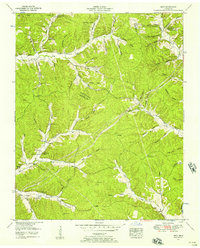
1952 · Spot
USGS Topo · 1:24,000
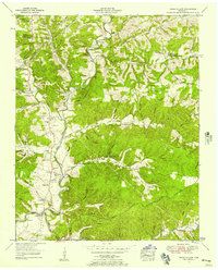
1952 · Texas Hollow
USGS Topo · 1:24,000

1953 · Dickson
USGS Topo · 1:24,000