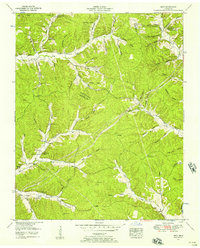
1952 Map of Spot
USGS Topo · Published 1957About this map
Deep hollows and family-named landmarks define the borderlands of Hickman, Humphreys, and Dickson counties during the early 1950s. The settlement of Spot serves as a central point in a landscape carved by the Pine River and its numerous tributaries, including Beaver Creek and Pretty Creek. This survey by the Tennessee Valley Authority captures a rural community organized around crossroads and natural features like the Salt Lick and Cave.
Find a feature on this map
91 named features on this map. Tap any name to fly to it.
Don’t see what you’re looking for? This feature index may not catch every label — zoom into the map to look around manually.
Map Details
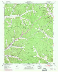
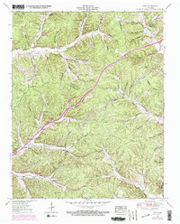
Editions of this 1952 Spot Map
3 editions found
Other maps of this area

1901 · Colombia
USGS Topo · 1:125,000

1936 · Gorman
USGS Topo · 1:24,000

1936 · Coble
USGS Topo · 1:24,000

1936 · Nunnelly
USGS Topo · 1:24,000

1936 · Whitfield
USGS Topo · 1:24,000

1936 · Bucksnort
USGS Topo · 1:24,000

1936 · Texas Hollow
USGS Topo · 1:24,000

1936 · Spot
USGS Topo · 1:24,000

1936 · Tennessee City
USGS Topo · 1:24,000

1936 · Dickson
USGS Topo · 1:24,000