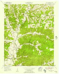
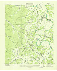
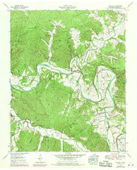
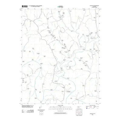
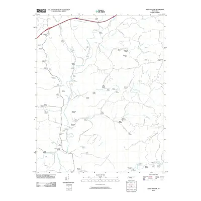
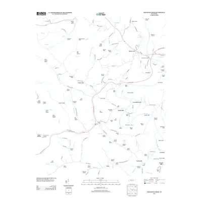
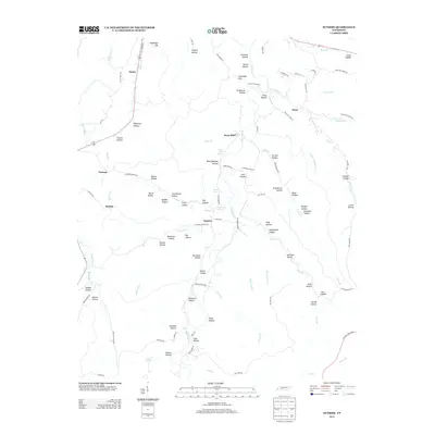
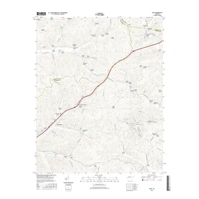
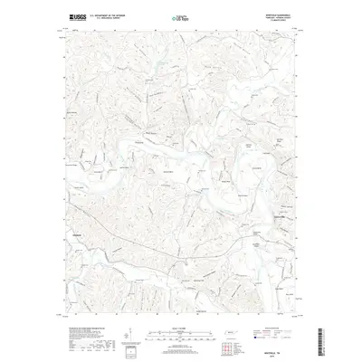
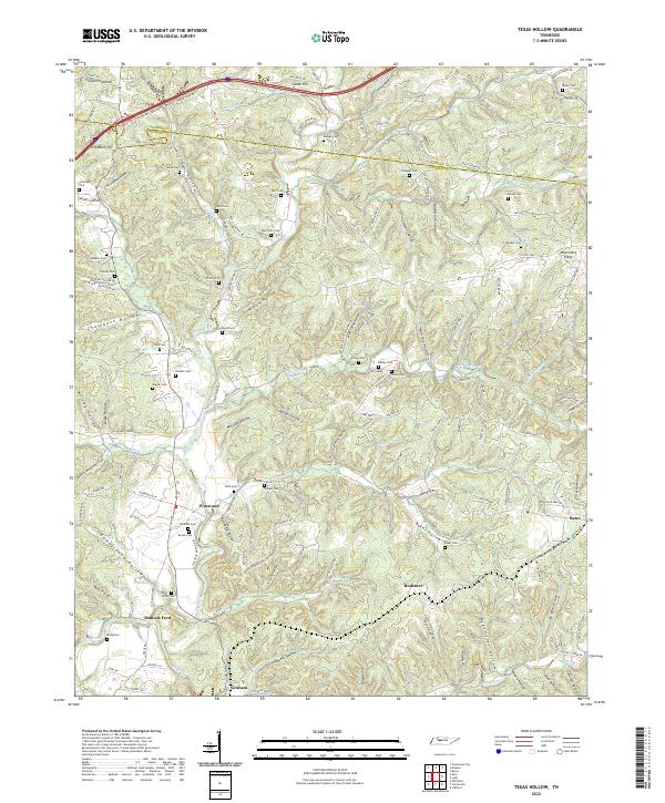
1952 Map of Texas Hollow
USGS Topo · Published 1957About this map
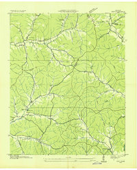
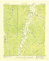
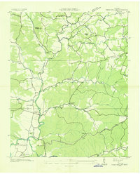
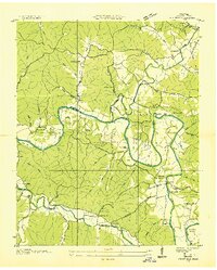
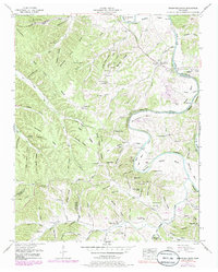
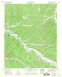
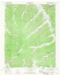
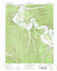
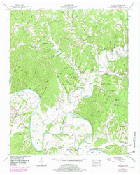
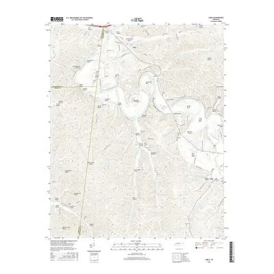
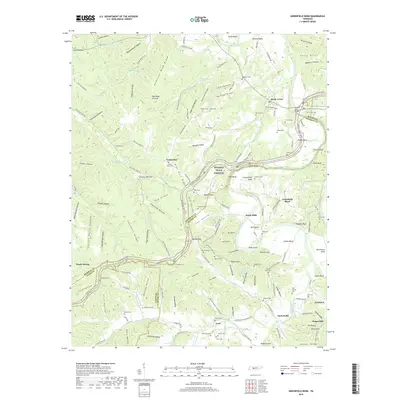
Missionary Ridge stands as a prominent topographical feature in this mid-century survey of the boundary between Dickson and Hickman Counties. The landscape is defined by the winding course of the Piney River, which served as a vital artery for the small communities of Graham and Pinewood. The era’s industrial footprint is visible through the presence of the Nashville Chattanooga and St Louis railway and several abandoned open pit mines tucked into the hollows. Genealogists will find a wealth of family history in the numerous rural burial grounds, such as Shipp Cemetery and Temple Cemetery, and localized centers of community life including the Pinewood School and Kedron Church. The map also documents river crossings like Matlock Ford and traditional landmarks such as the airway beacon, providing a detailed view of the rural Tennessee infrastructure before major modern shifts.
Find a feature on this map
72 named features on this map. Tap any name to fly to it.
Don’t see what you’re looking for? This feature index may not catch every label — zoom into the map to look around manually.
Map Details
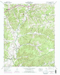
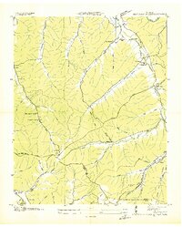
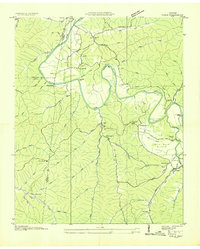
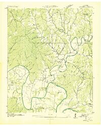
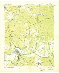
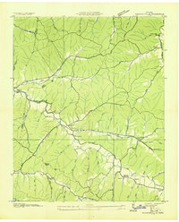
Editions of this 1952 Texas Hollow Map
3 editions found
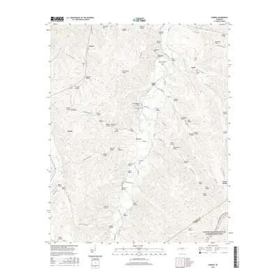
Historical Maps of Rodemer Through Time
64 maps found
1936 Beaverdam Springs
Hickman County, TN
1936 Coble
Hickman County, TN
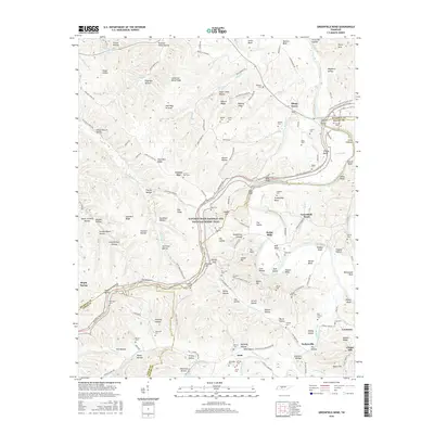
1936 Greenfield Bend
Hickman County, TN
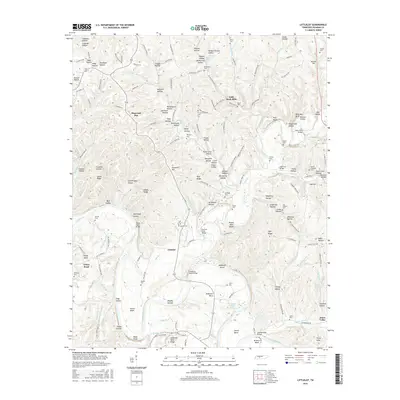
1936 Littlelot
Hickman County, TN
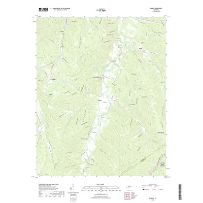
1936 Nunnelly
Hickman County, TN
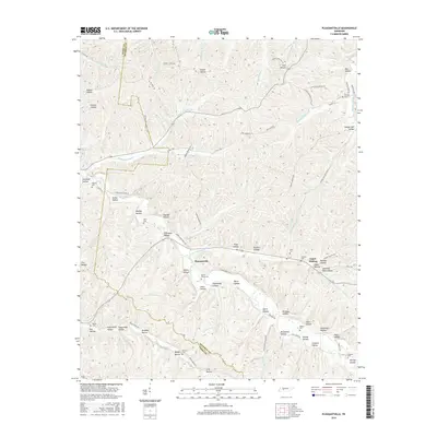
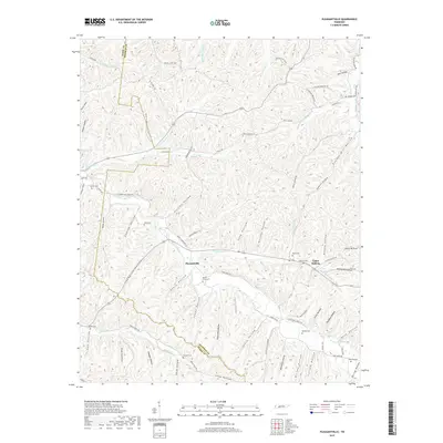
1936 Pleasantville
Hickman County, TN
1936 Spot
Hickman County, TN
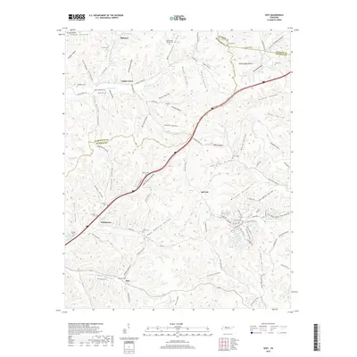
1936 Sunrise
Hickman County, TN
1936 Texas Hollow
Hickman County, TN
1936 Whitfield
Hickman County, TN
1951 Greenfield Bend
Hickman County, TN
1951 Pleasantville
Hickman County, TN
1952 Beaverdam Springs
Hickman County, TN
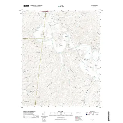
1952 Coble
Hickman County, TN
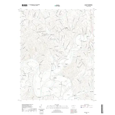
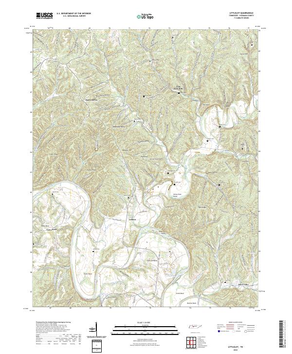
1952 Littlelot
Hickman County, TN
1952 Spot
Hickman County, TN
1952 Sunrise
Hickman County, TN
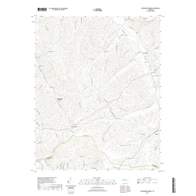
1952 Texas Hollow
Hickman County, TN
1952 Whitfield
Hickman County, TN
2010 Beaverdam Springs
Hickman County, TN
2010 Coble
Hickman County, TN
2010 Greenfield Bend
Hickman County, TN
2010 Littlelot
Hickman County, TN
2010 Pleasantville
Hickman County, TN
2010 Spot
Hickman County, TN
2010 Sunrise
Hickman County, TN
2010 Texas Hollow
Hickman County, TN
2010 Whitfield
Hickman County, TN
2013 Beaverdam Springs
Hickman County, TN
2013 Coble
Hickman County, TN
2013 Greenfield Bend
Hickman County, TN
2013 Littlelot
Hickman County, TN
2013 Pleasantville
Hickman County, TN
2013 Spot
Hickman County, TN
2013 Sunrise
Hickman County, TN
2013 Texas Hollow
Hickman County, TN
2013 Whitfield
Hickman County, TN
2016 Beaverdam Springs
Hickman County, TN
2016 Coble
Hickman County, TN
2016 Greenfield Bend
Hickman County, TN
2016 Littlelot
Hickman County, TN
2016 Pleasantville
Hickman County, TN
2016 Spot
Hickman County, TN
2016 Sunrise
Hickman County, TN
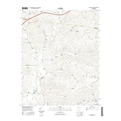
2016 Texas Hollow
Hickman County, TN
2016 Whitfield
Hickman County, TN
2019 Beaverdam Springs
Hickman County, TN
2019 Coble
Hickman County, TN
2019 Greenfield Bend
Hickman County, TN
2019 Littlelot
Hickman County, TN
2019 Pleasantville
Hickman County, TN
2019 Spot
Hickman County, TN
2019 Sunrise
Hickman County, TN
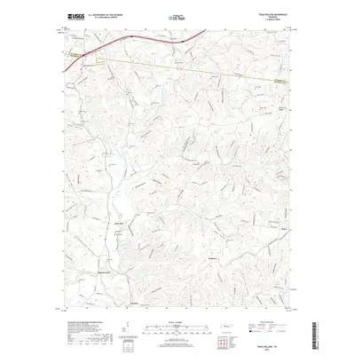
2019 Texas Hollow
Hickman County, TN
2019 Whitfield
Hickman County, TN
2022 Beaverdam Springs
Hickman County, TN
2022 Coble
Hickman County, TN
2022 Greenfield Bend
Hickman County, TN
2022 Littlelot
Hickman County, TN
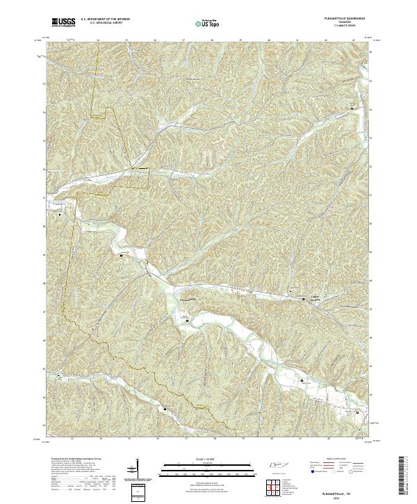
2022 Pleasantville
Hickman County, TN
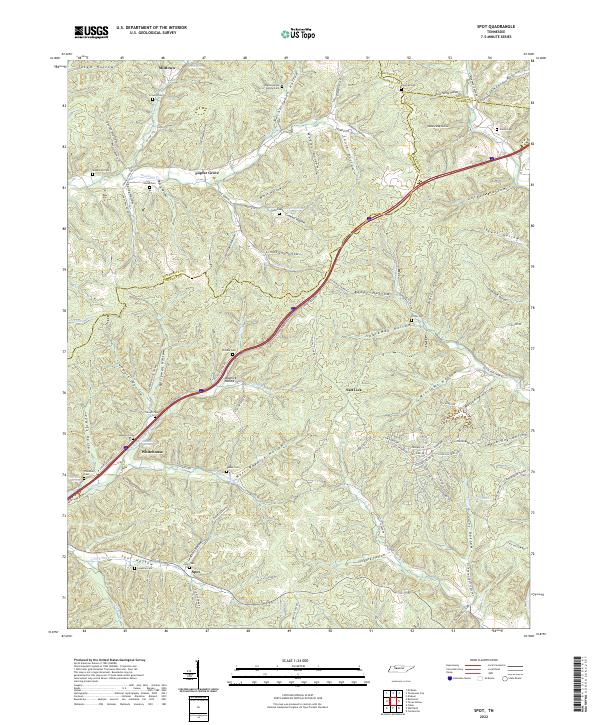
2022 Spot
Hickman County, TN
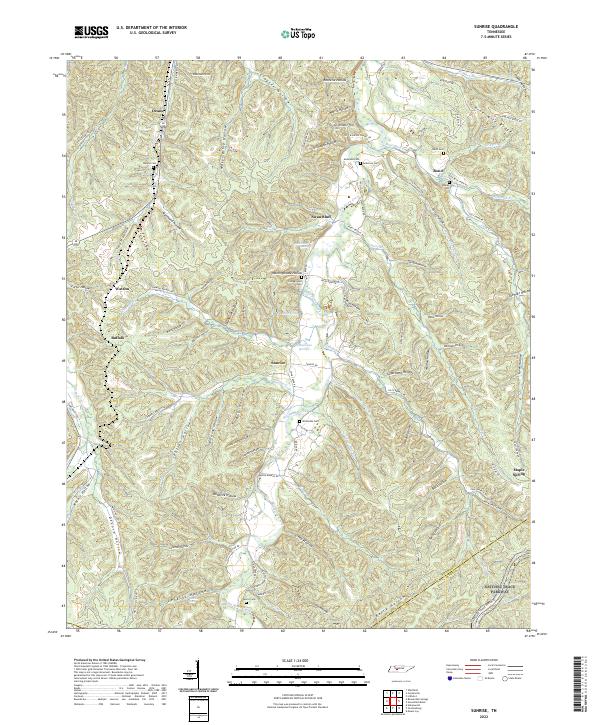
2022 Sunrise
Hickman County, TN
2022 Texas Hollow
Hickman County, TN
2022 Whitfield
Hickman County, TN