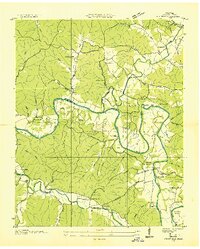
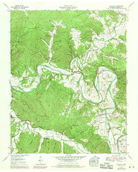
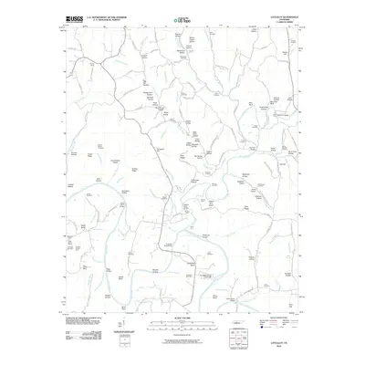
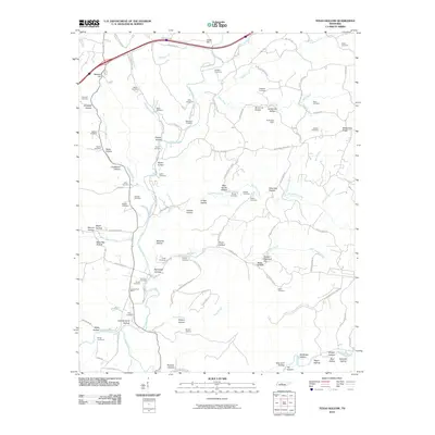
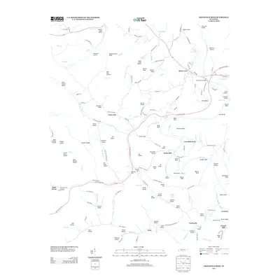
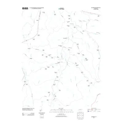
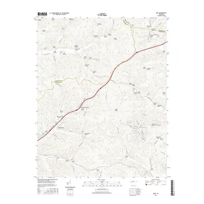
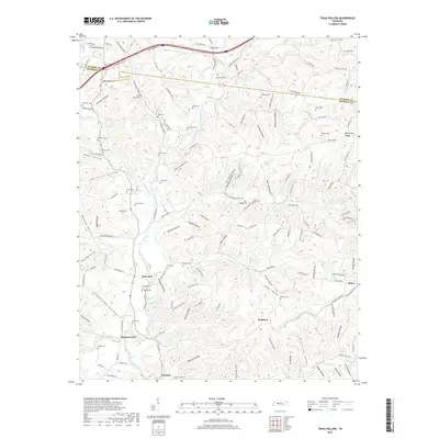
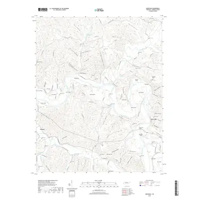
1952 Map of Texas Hollow
USGS Topo · Published 1970About this map
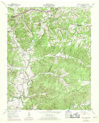
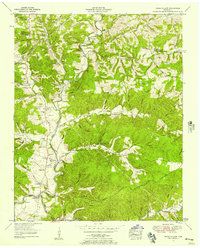
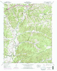
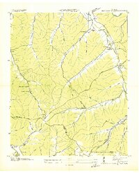
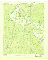
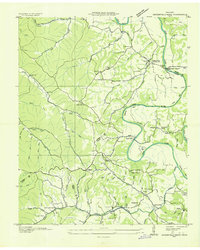
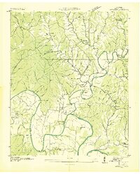
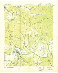
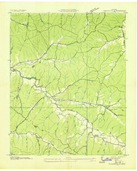
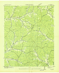
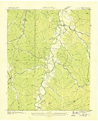
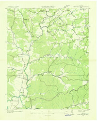
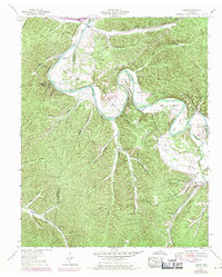
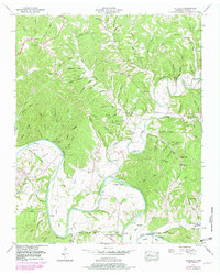
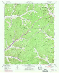
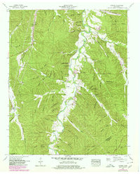
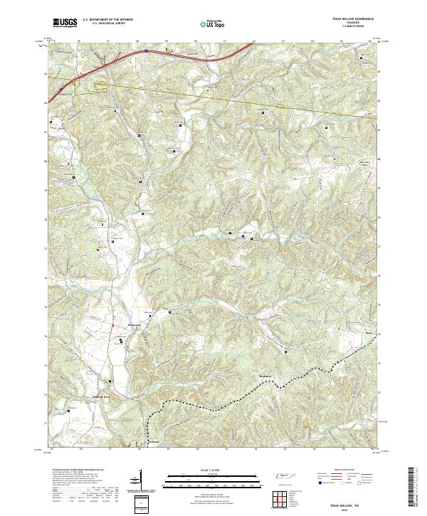
The Piney River meanders through this portion of the Dickson and Hickman county line, carving a landscape defined by dozens of narrow valleys like Texas Hollow and Chalkbank Hollow. This mid-century survey reveals a rural society built around small family settlements and decentralized institutions, such as the Pinewood Sch and Kedron Ch. Genealogy researchers will find an exceptional density of burial sites, including the Humble Cem, Temple Cem, and Meacham Cem, many of which are tucked into private hollows far from the main roads. Industrial activity is visible in the Open pit mines (Abandoned) and the presence of the Louisville and Nashville railroad, which follows the river's path south toward Graham (PO). The infrastructure of the era is further evidenced by a prominent Airway beacon on the heights above Tanbark Hill, serving as a navigational landmark for early aviation.
Find a feature on this map
83 named features on this map. Tap any name to fly to it.
Don’t see what you’re looking for? This feature index may not catch every label — zoom into the map to look around manually.
Map Details
Editions of this 1952 Texas Hollow Map
3 editions found
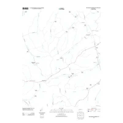
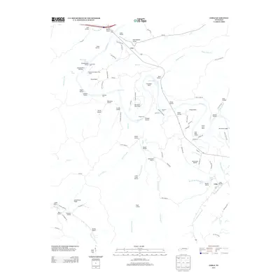
Historical Maps of Rodemer Through Time
64 maps found
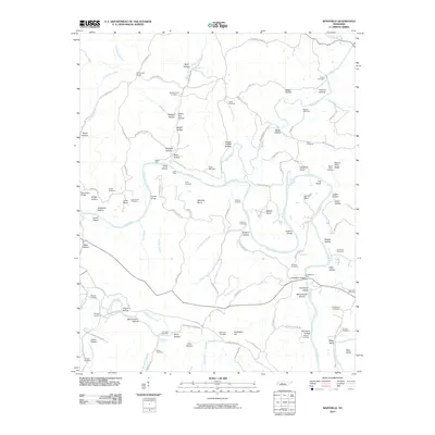
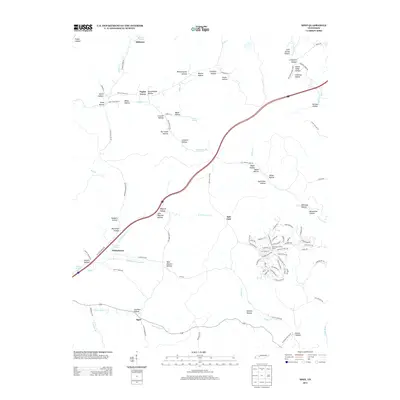
1936 Beaverdam Springs
Hickman County, TN
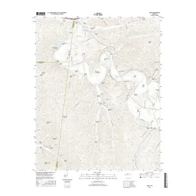
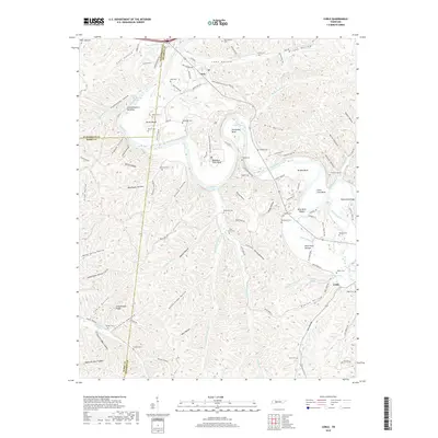
1936 Coble
Hickman County, TN
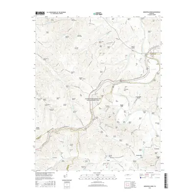
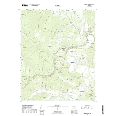
1936 Greenfield Bend
Hickman County, TN
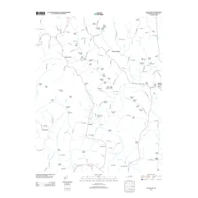
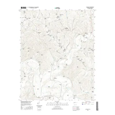
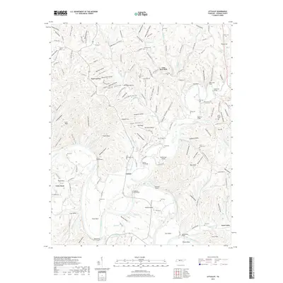
1936 Littlelot
Hickman County, TN
1936 Nunnelly
Hickman County, TN
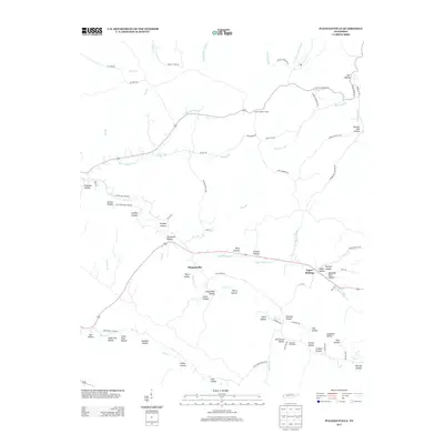
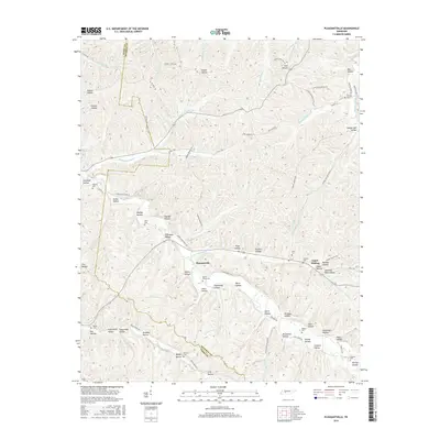
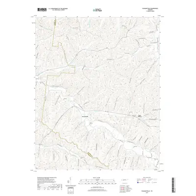
1936 Pleasantville
Hickman County, TN
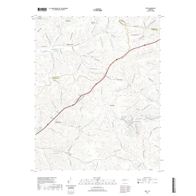
1936 Spot
Hickman County, TN
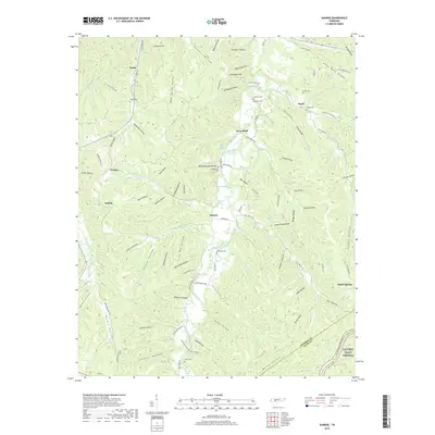
1936 Sunrise
Hickman County, TN
1936 Texas Hollow
Hickman County, TN
1936 Whitfield
Hickman County, TN
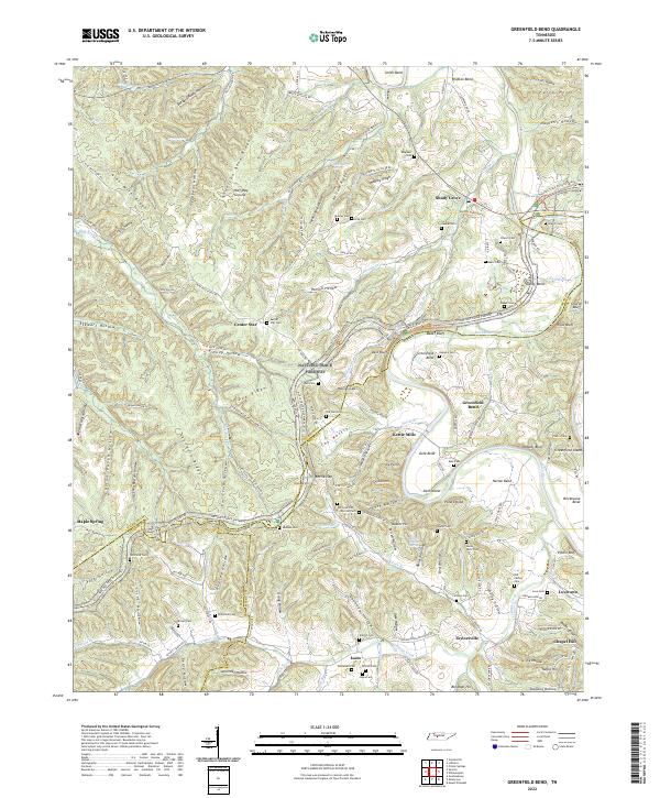
1951 Greenfield Bend
Hickman County, TN
1951 Pleasantville
Hickman County, TN
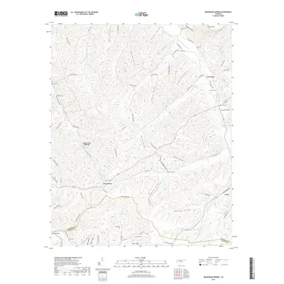
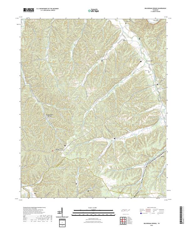
1952 Beaverdam Springs
Hickman County, TN
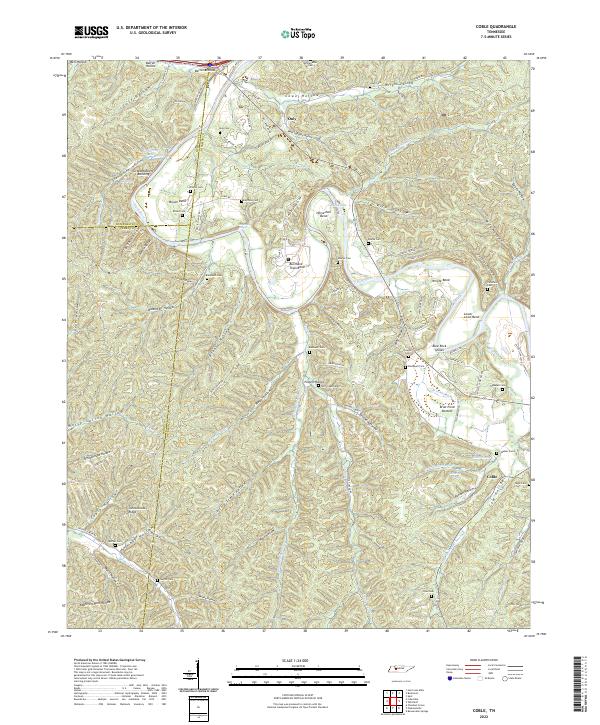
1952 Coble
Hickman County, TN
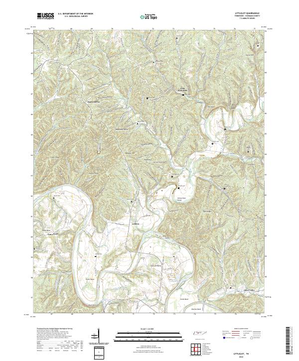
1952 Littlelot
Hickman County, TN
1952 Spot
Hickman County, TN
1952 Sunrise
Hickman County, TN
1952 Texas Hollow
Hickman County, TN
1952 Whitfield
Hickman County, TN
2010 Beaverdam Springs
Hickman County, TN
2010 Coble
Hickman County, TN
2010 Greenfield Bend
Hickman County, TN
2010 Littlelot
Hickman County, TN
2010 Pleasantville
Hickman County, TN
2010 Spot
Hickman County, TN
2010 Sunrise
Hickman County, TN
2010 Texas Hollow
Hickman County, TN
2010 Whitfield
Hickman County, TN
2013 Beaverdam Springs
Hickman County, TN
2013 Coble
Hickman County, TN
2013 Greenfield Bend
Hickman County, TN
2013 Littlelot
Hickman County, TN
2013 Pleasantville
Hickman County, TN
2013 Spot
Hickman County, TN
2013 Sunrise
Hickman County, TN
2013 Texas Hollow
Hickman County, TN
2013 Whitfield
Hickman County, TN
2016 Beaverdam Springs
Hickman County, TN
2016 Coble
Hickman County, TN
2016 Greenfield Bend
Hickman County, TN
2016 Littlelot
Hickman County, TN
2016 Pleasantville
Hickman County, TN
2016 Spot
Hickman County, TN
2016 Sunrise
Hickman County, TN
2016 Texas Hollow
Hickman County, TN
2016 Whitfield
Hickman County, TN
2019 Beaverdam Springs
Hickman County, TN
2019 Coble
Hickman County, TN
2019 Greenfield Bend
Hickman County, TN
2019 Littlelot
Hickman County, TN
2019 Pleasantville
Hickman County, TN
2019 Spot
Hickman County, TN
2019 Sunrise
Hickman County, TN
2019 Texas Hollow
Hickman County, TN
2019 Whitfield
Hickman County, TN
2022 Beaverdam Springs
Hickman County, TN
2022 Coble
Hickman County, TN
2022 Greenfield Bend
Hickman County, TN
2022 Littlelot
Hickman County, TN
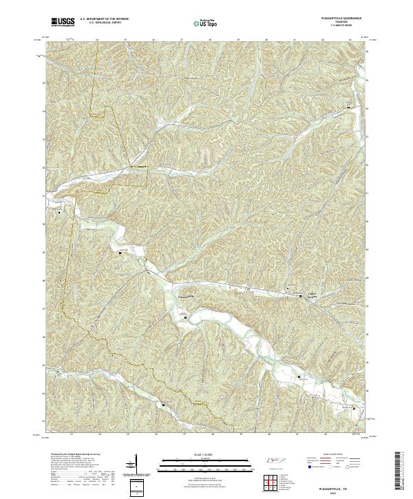
2022 Pleasantville
Hickman County, TN
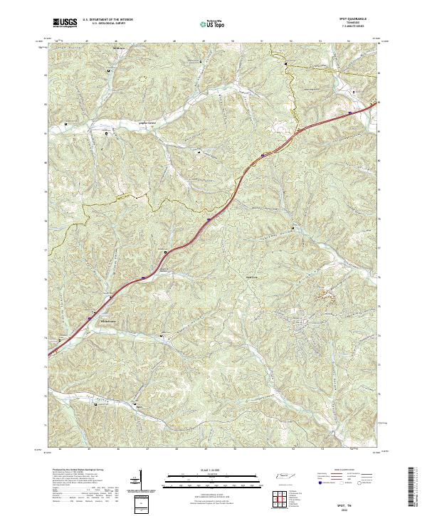
2022 Spot
Hickman County, TN
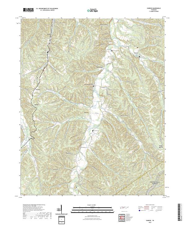
2022 Sunrise
Hickman County, TN
2022 Texas Hollow
Hickman County, TN
2022 Whitfield
Hickman County, TN