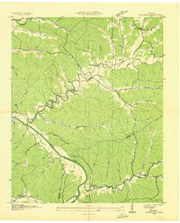
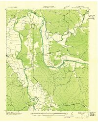
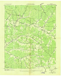
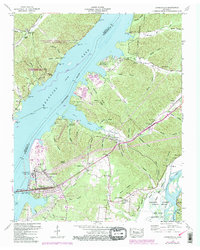
1936 Map of Bucksnort
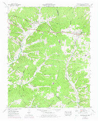
USGS Topo · Published 1936This historical map portrays the area of Bucksnort in 1936, primarily covering Humphreys County as well as portions of Hickman County. Featuring a scale of 1:24000, this map provides a highly detailed snapshot of the terrain, roads, buildings, counties, and historical landmarks in the Bucksnort region at the time. Published in 1936, it is one of 2 known editions of this map due to revisions or reprints.
Find a feature on this map
60 named features on this map. Tap any name to fly to it.
Don’t see what you’re looking for? This feature index may not catch every label — zoom into the map to look around manually.
Map Details
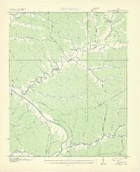
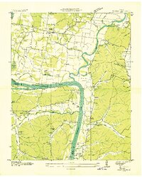
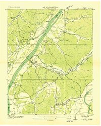
Editions of this 1936 Bucksnort Map
2 editions found
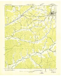
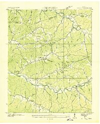
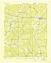
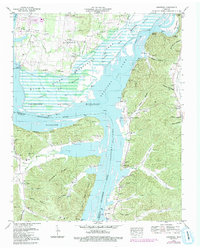
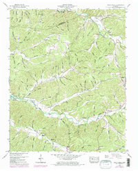
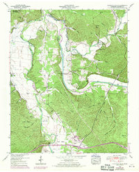
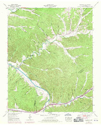
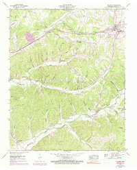
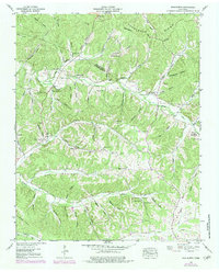
Historical Maps of Bold Spring Through Time
16 maps found
1936 Bucksnort
Humphreys County, TN
1936 Gorman
Humphreys County, TN
1936 Halls Creek
Humphreys County, TN
1936 Hurricane Mills
Humphreys County, TN
1936 Hustburg
Humphreys County, TN
1936 Johnsonville
Humphreys County, TN
1936 Tennessee City
Humphreys County, TN
1936 Woolworth
Humphreys County, TN
1949 Hustburg
Humphreys County, TN
1950 Halls Creek
Humphreys County, TN
1950 Hurricane Mills
Humphreys County, TN
1950 Johnsonville
Humphreys County, TN
1952 Bucksnort
Humphreys County, TN
1952 Mc Ewen
Humphreys County, TN
1952 Woolworth
Humphreys County, TN
1953 Tennessee City
Humphreys County, TN