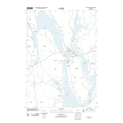
2011 Map of Bucksport
USGS Topo · Published 2011About this map
The Penobscot River defines the landscape of this coastal region, where the town of Bucksport sits at a critical bend in the waterway. The map details the complex geography of Verona island, situated where the main river channel meets the Eastern Channel and Orland River. Infrastructure across these waters is prominent, featuring the Waldo-Hancock Bridge and the Penobscot Narrows Observatory, alongside historic transit points like Prospect Ferry.
Find a feature on this map
95 named features on this map. Tap any name to fly to it.
Don’t see what you’re looking for? This feature index may not catch every label — zoom into the map to look around manually.
Map Details
Editions of this 2011 Bucksport Map
This is the sole edition of this map. No revisions or reprints were ever made.
Other maps of this area

1900 · Orland
USGS Topo · 1:62,500

1900 · Bucksport
USGS Topo · 1:62,500

1902 · Bucksport
USGS Topo · 1:62,500

1902 · Castine
USGS Topo · 1:62,500

1904 · Castine
USGS Topo · 1:62,500

1904 · Bluehill
USGS Topo · 1:62,500

1905 · Penobscot Bay
USGS Topo · 1:125,000

1941 · Castine
USGS Topo · 1:62,500

1942 · Orland
USGS Topo · 1:62,500

1942 · Bucksport
USGS Topo · 1:62,500