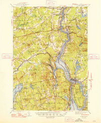
1948 Map of Bucksport
USGS Topo · Published 1948About this map
The Penobscot River serves as the central artery for this mid-coast region, dividing the landscape between Waldo, Penobscot, and Hancock counties. The maritime and industrial character of the late 1940s is evident in the dense cluster of settlements along the water, from the shipping and rail hubs at Bucksport and Winterport to the defensive grounds of Fort Knox State Park. The map captures a sophisticated transportation network where the Maine Central and Bangor and Aroostook railroads parallel the river, connecting historic villages like Hampden Highlands and North Orrington.
Find a feature on this map
129 named features on this map. Tap any name to fly to it.
Don’t see what you’re looking for? This feature index may not catch every label — zoom into the map to look around manually.
Map Details
Editions of this 1948 Bucksport Map
2 editions found
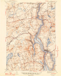
Other maps of this area

1900 · Orland
USGS Topo · 1:62,500

1900 · Bucksport
USGS Topo · 1:62,500

1902 · Orono
USGS Topo · 1:62,500

1902 · Bucksport
USGS Topo · 1:62,500

1902 · Bangor
USGS Topo · 1:62,500

1902 · Castine
USGS Topo · 1:62,500

1904 · Castine
USGS Topo · 1:62,500

1904 · Bluehill
USGS Topo · 1:62,500

1905 · Penobscot Bay
USGS Topo · 1:125,000

1915 · Belfast
USGS Topo · 1:62,500