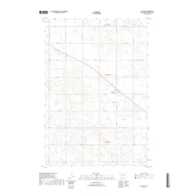
2017 Map of Bucyrus
USGS Topo · Published 2017About this map
Bucyrus serves as the central hub of this Adams County landscape, situated where the local road network meets the industrial infrastructure of Railway St. The settlement is defined by a traditional grid including 2nd St, while the surrounding prairie is marked by the meandering paths of Flat Creek and Willow Creek. These watercourses dictate the subtle topography of the Great Plains, influencing the placement of section lines and range boundaries like t130n r97w.
Find a feature on this map
26 named features on this map. Tap any name to fly to it.
Don’t see what you’re looking for? This feature index may not catch every label — zoom into the map to look around manually.
Map Details
Editions of this 2017 Bucyrus Map
This is the sole edition of this map. No revisions or reprints were ever made.
Other maps of this area

1953 · Dickinson
USGS Topo · 1:250,000

1954 · Lemmon
USGS Topo · 1:250,000

1957 · Dickinson
USGS Topo · 1:250,000

1957 · Lemmon
USGS Topo · 1:250,000

1969 · Reeder
USGS Topo · 1:24,000

1974 · Hettinger North
USGS Topo · 1:24,000

1974 · Hettinger South
USGS Topo · 1:24,000

1974 · Cow Butte
USGS Topo · 1:24,000

1974 · Cow Butte NE
USGS Topo · 1:24,000

1980 · Mott
USGS Topo · 1:100,000